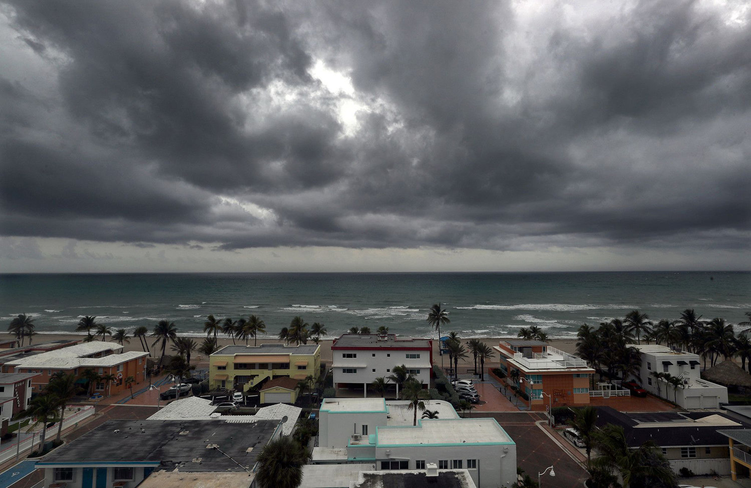
TAMPA, Fla. – When Elsa reached sustained winds of 85 mph last week, it became the strongest July storm in the Caribbean Sea since Hurricane Emily in 2005. Four days later, it would brush past the Tampa Bay coastline, dumping plenty of rain, but leaving the region mostly unscathed.
It was a hurricane that formed far earlier than forecasters anticipated, even during what is expected to be an above average Atlantic hurricane season. After last year’s record-breaking season with 30 named storms, are earlier storms the new normal?
“In general, early season Atlantic hurricane activity has very little correlation with overall Atlantic hurricane activity. But when this activity occurs in the tropics, that is typically a harbinger of a very active season,” said Phil Klotzbach, the lead researcher at Colorado State University, which updated its 2021 hurricane season predictions last week to include more storms. In April, the university predicted 17 named storms and eight hurricanes this year, but it increased its forecast to 20 named storms and nine hurricanes on Thursday.
Hurricane Elsa’s movement and formation was cited as one of the main reasons for the updated forecast, Klotzbach said.
Elsa became a hurricane south of the Tropic of Cancer in the Atlantic Ocean, which some researchers found concerning. A hurricane forming in this area before Aug. 1 has only occurred six times in recorded history. In each of those seasons, the National Hurricane Center would go on to classify the year as “hyperactive.”
Like last year, Klotzbach said the latest increase in projected storms was necessary because of conditions becoming more conducive for storm formation. This is particularly the case for storms spawning off Africa’s West Coast, which is where Elsa began as a tropical wave nearly two weeks ago.
Other factors Colorado State mentioned in their latest forecast included above average temperatures in the Atlantic Ocean, an active West African monsoon season and the low probability for El Niño to develop this year.
Warmer oceans also generate more powerful storms, while a lack of El Niño in the Pacific Ocean means there will be less wind shear in the Atlantic to break potential storms down. The presence of West African monsoons enables wind patterns coming off the continent to more easily spin up storms, Klotzbach said.
Jeff Masters, a hurricane researcher at Yale University, said that Elsa formed in an area known as the “main development region” for hurricanes in the Atlantic. As the name suggests, it’s the most common formation area for major hurricanes — Category 3 and higher — in the later months of the season, such as September and October.
The area runs between the coast of Africa and Central America and includes the Caribbean. Recently, it was the spawning place of Category 5 hurricanes Eta and Iota in November.
It is unusual for a storm to form there as early as the first week of July.
“It is concerning that Elsa formed early in the season in the main development region,” Masters said.
Despite the increased projections for the season as a whole, Masters said that we may have some time to relax ahead of peak season in September. The latest long-range forecasts for cyclone activity in the Atlantic through mid-July are showing little activity, according to Yale Climate Connections.


