WINTHROP, Okanogan COUNTY — As the Cedar Creek fire burns through the wilderness just west of this heavily touristed North Central Washington town, firefighters have used a kaleidoscope of sensors mounted on satellites, aircraft and drones to keep tabs on the blaze.
Mapping wildfires — which can be notoriously unpredictable — and predicting their paths are key tasks for keeping people, property and the ecosystem safe.
But no single tool is perfect for the job, officials say, and creating accurate fire maps via aircraft can take hours.
Meanwhile, as firefighters around the nation battle a host of blazes, there aren't enough planes and personnel to track every fire.
Now, an experiment is underway that could speed up wildfire tracking, spread that information more widely and ultimately reshape how blazes are fought.
Researchers at the Pacific Northwest National Laboratory are using a new set of satellite sensors flown by the United States — including on the International Space Station — and foreign governments to surveil blazes.
Dubbed RADR-Fire and funded by the U.S. Department of Defense, the program then uses computer technology to create fire maps and analysis.
The idea is to slash the time needed to get high-quality maps and data into the hands of fire crews, said Andre Coleman, a senior research scientist with PNNL working on the project.
If successful, RADR-Fire — which is being developed by researchers in Richland, Seattle and elsewhere — could also get that data to firefighters who can't get access to satellites and planes.
"As we continue to see year after year, fires are even bigger, they're more complex, they move faster, there's a higher intensity about them," said Coleman. "And so that really requires us to up our game."
"We don't have enough airplanes to fly all the fires that we have burning right now," said Sean Triplett of the U.S. Forest Service, who's helping evaluate RADR-Fire to see if it could be actively deployed. The Forest Service, he added, is "really excited about it."
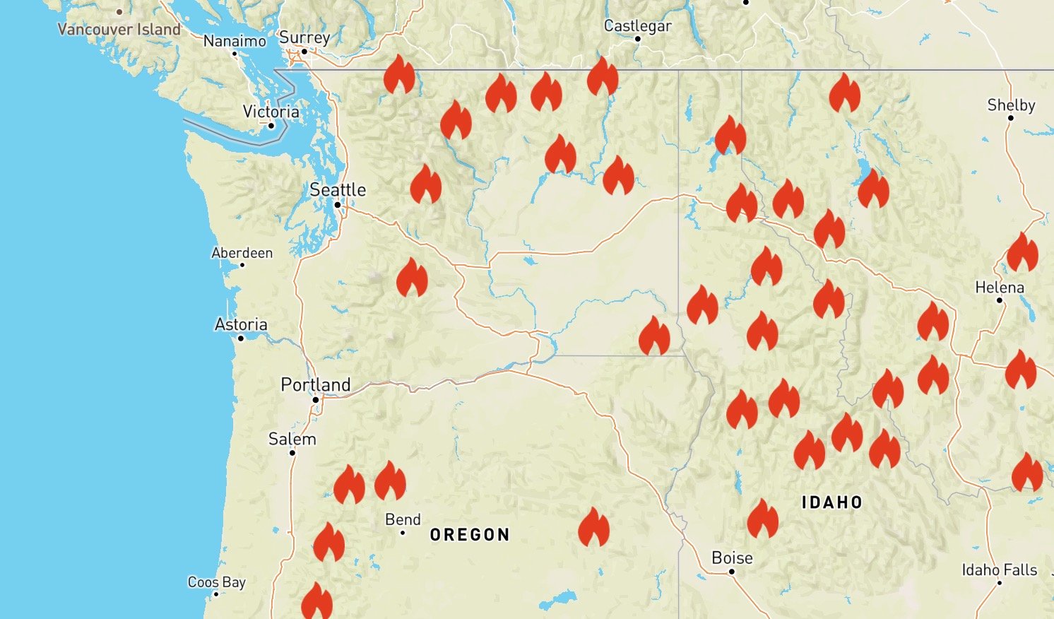
The experiment comes as Washington suffers yet another grueling fire season.
Nearly 1,600 blazes have sparked this year, according to the state Department of Natural Resources, torching roughly 700 square miles in the state. That's the equivalent of burning the city of Seattle eight times over.
Earlier this month, Public Lands Commissioner Hilary Franz toured the Cedar Creek fire, which is burning in Okanogan County. Standing next to a map of the blaze during a fire briefing, Franz said Washington is outpacing its usual number of fires for a season.
She described the prolonged drought and the intense summer heat that has sucked the moisture from trees and grasslands, conditions that she said could extend this year's fire season longer than usual.
"We are projecting this is going to be the worst wildfire season on record," said Franz, adding later: "We don't see it letting up any time soon."
Satellites, drones and planes
The Cedar Creek fire, one of two blazes that has burned a combined 188 square miles in the region, is an example of how large fires are currently tracked.
The blaze threatened the towns of Twisp and Winthrop and for weeks forced the closure of a chunk of Highway 20.
It was enough of a threat that Great Basin Incident Management Team 1, one of the nation's 16 large disaster-response teams, was assigned to manage the response. That team spent weeks coordinating the effort and overseeing hundreds of firefighters stationed around the Methow Valley.
To track the blaze, which first ignited by lightning in early July, officials have used existing satellites, aircraft and drones, said Evans Kuo, commander for that team.
In Winthrop before a recent fire briefing, Kuo listed each piece of technology, its strengths and drawbacks.
Current satellite feeds can capture broad views of fire, he said, but aren't precise enough to make decisions on where to send fire crews or create a detailed fire map.
For a very close-in view, crews in recent years have started using unmanned aerial systems, or drones, to get precise information.
That method is used "as opposed to making a firefighter wander around on the ground, trying to figure out where everything is in the dense trees and the smoke," said Kuo.
But they're essentially flying at treetop level, and with a range of only a few miles, they only see so much at a time.
Fire crews, then, depend regularly on aircraft to map the fire with infrared imaging. Those readings are precise enough to determine which side of the road a blaze is burning on, said Kuo. That is crucial intelligence for commanders sending their firefighters into dangerous, confusing conditions.
Aircraft in many cases can only be used once per 24 hours, said Kuo, because they are mapping so many fires and pilots can only fly a limited number of hours. Meanwhile, bad weather can keep them grounded, which happened at points during the Cedar Creek fire. Sometimes their sensors can't see clearly through heavy smoke, water vapor or clouds.
The information must be distributed to firefighters. The data in some cases has to be downloaded after the flight and mapped by an analyst, creating a time lag.
The hope with RADR-Fire is to cut down that time, said Triplett, "so instead of having to wait 12 hours from now to know where the fire ended up, it would track it in a more real-time fashion."
Testing the capabilities
RADR-Fire is an experimental satellite surveillance system that builds on work started by PNNL in 2014 to respond to hurricanes and floods, according to Coleman, and is designed to add to the current wildfire-tracking methods, not replace them.
Its website has a playback feature as well, allowing fire crews and others to go back and assess a fire later on.
Earlier this year, the program was tested on the Joseph Canyon fire, which burned in southeastern Washington and northeastern Oregon. More recently, a request came in to use it on the Bulldog Mountain fire, which sprung up in northeastern Washington earlier this month.
Coleman called that an example of a smaller fire that can't get tracking resources because they're all tied up elsewhere.
RADR-Fire uses sensors on a host of platforms that includes, among others, the International Space Station's ECOSTRESS sensor. Two U.S. Geological Survey satellites known as LANDSATs are used, as well as the European Space Agency's Sentinel 2.
The sensors on those are getting much more detailed looks than the ones currently being used, said Coleman.
"Probably within the next three years, we'll see sensors out there" that can deliver that precision, he said.
The Forest Service is testing RADR-Fire by comparing the fire perimeters it creates to the verified maps being used, said Triplett, who works on tools and technology for the agency at the National Interagency Fire Center. They are also trying to teach the program to detect fire retardant dropped by helicopters and aircraft.
Officials must also make sure the artificial intelligence is correctly interpreting data, compared with the analysis that can be made by trained professionals.
Triplett cited an example of those kinds of questions, which he recently encountered at the Tamarack fire. There, crews sent an aircraft with infrared over the conflagration, which is burning along the California and Nevada border.
The blaze burned through a heavily forested area — which Triplett said can retain heat even after the flames pass — and then moved down through brush and grass.
Those areas don't trap heat, he said, "and after the fire moved through, all the energy was gone."
So when the sensor flew over, it couldn't see that the grass area had burned, said Triplett. But to a trained analyst, "They look at it and go, 'oh that area's burned, it just lost all of its heat.' "
Coleman and Triplett envision an even more expansive tool than something that quickly draws fire perimeters.
Researchers are working to add analysis for determining how severely fire has burned an area, he said, to understand impact to the landscape. Another feature is trying to detect risks to infrastructure, like electrical grids.
Triplett said he wants to find ways to plug in other data to the program, like adding video clips gathered by helicopters or drones, to give fire crews as robust a picture as possible.
If officials verify that RADR-Fire can do the job, they'll have to figure out the budgeting and logistics to take the program live.
Having it ready for next year's fire season, said Triplett, "would be my pie-in-the-sky dream."


