The first days of the new year are expected to bring warmer weather to Seattle with rain returning to the city and snowstorms likely relegated to the mountains.
"The good news," said Jeffrey Michalski, a meteorologist with the National Weather Service in Seattle, "we are done with the bitter cold temperatures."
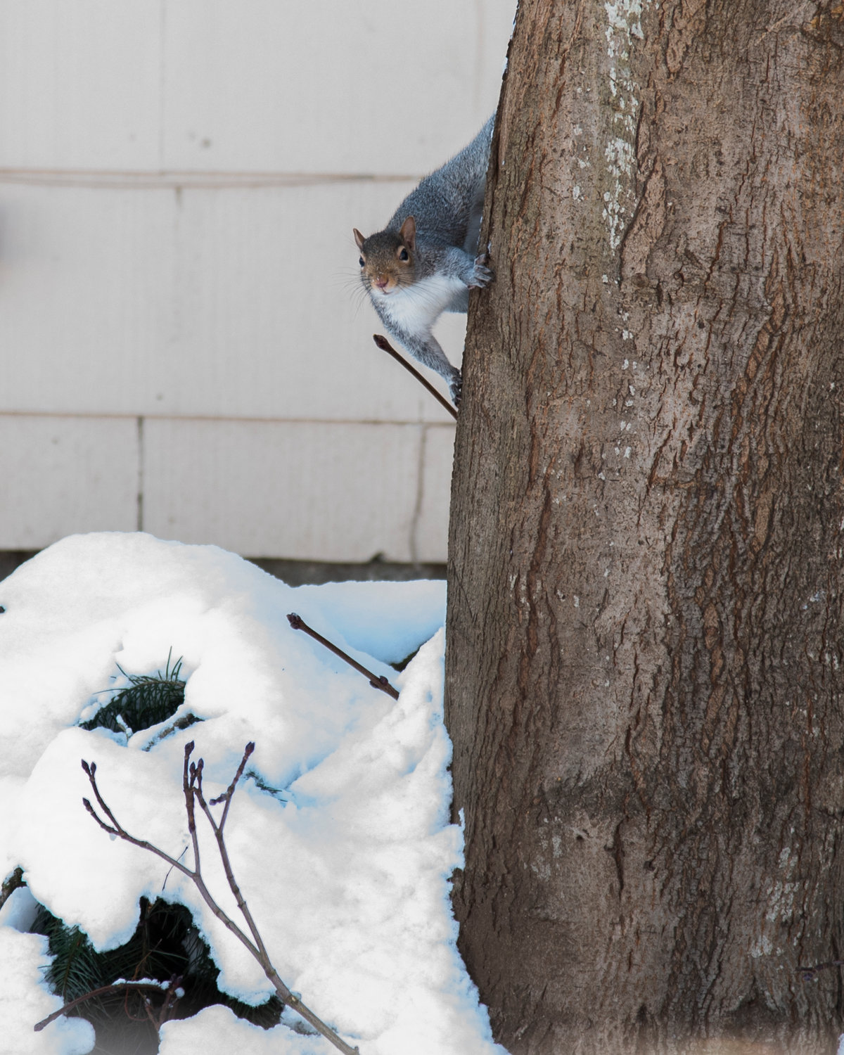
After weeks of above-average snowfall in Seattle, with 9 inches of snow recorded at Seattle-Tacoma International Airport — 3 inches more than the normal accumulation in December — temperatures were expected to stay above freezing, with highs in the low- to mid-40s. However, snow will continue to fall in the Cascades, making travel difficult through the mountain passes.
Michalski also warned of high tides and overflow in the Puget Sound over the next week ushering in the king tides. Considered the highest tides of the year, the combination of high astronomical tides, low pressure and wind can cause water levels to rise by several inches. Minimal coastal flooding is likely, Michalski said, including some flooding of roads and parks.
"The whole region is wetter than normal even since the beginning of fall," Michalski said, noting the additional 4 inches of rainfall since October. It is too early to say whether Seattle has seen the last of snow for the season though, as February is usually the region's snowiest month.
"Anything that does fall from here on out is putting us above average," he said.


