The Goat Rocks Fire in the Gifford Pinchot National Forest northeast of Packwood was estimated at 3,096 acres Tuesday as nearly 200 people continued battling the lightning-caused blaze.
The fire, which is about 1 and a half miles from Packwood and was sparked Aug. 9, led to evacuations last Friday as it exploded in size, growing from less than 100 acres to more than 2,000 over about 24 hours.
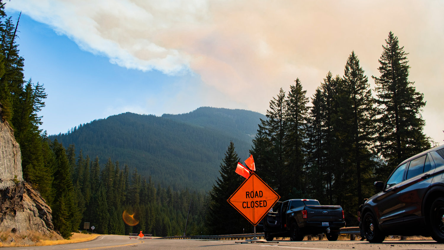
Those evacuations were lifted Sunday night as a red flag weather warning was lifted with the arrival of cooler temperatures and rain. U.S. Highway 12 was reopened at the same time. The fire is still 0 percent contained.
“Suppression efforts continue to be challenged by steep rugged terrain in dense stands of timber in the Goat Rocks Wilderness,” the U.S. Forest Service announced in a Tuesday update. “Public and firefighter safety remain the highest priority on the Goat Rocks Fire.
A meeting will be held at 7 p.m. Wednesday, Sept. 14, at the Packwood Community Center for fire officials to update the public on the current situation. The meeting will be broadcast on the Gifford Pinchot National Forest Facebook page for those unable to attend.
On Monday, crews finished prepping structures in the Timberline neighborhood and moved on to other areas along U.S. Highway 12.
“With the continued fire spread to the south, crews began prepping the 1266 road system to the south and the 46 road system to the north of the fire,” according to the Forest Service update. “Due to the moderated fire activity, firefighters did not observe any new growth. Today, resources will continue structure prep in the Coal Creek area and patrol the Timberline neighborhood. Work will continue along the 1266 and 46 road systems, clearing edges to create a fuel break ahead of the fire. Additionally, crews will be wrapping the historic structures at Packwood Lake with a protective covering in the event the fire reaches that location”
While U.S. Highway 12 and state Route 123 are both open for traffic in both directions, officials are asking the public to exercise caution as fire vehicles continue operating in the area.
Forest Roads 1260, 1262, 1266, 4600, 4610, 4612, 4830 and all connected spur roads remain closed.
Additionally, #65 (Bluff Lake), #69 (Three Peaks), #74 (Pipeline Road), #61 (Clear Fork Trail from the trailhead to the Clear Lost Trail), #76 (Clear Lost Trail from the junction of the Clear Fork Trail to the junction of the Packwood Lake Trail), and #78 (Packwood Lake Trail) are closed.
Hikers can continue to access the Clear Lost Trailhead but can only hike south on the Clear Fork Trail.
All of Packwood and its surrounding communities except for Upper Timberline are at an Evacuation Level 1 (Be Ready). Upper Timberline is now at an Evacuation Level 2 (Be Set). The evacuation shelter at White Pass School is now closed.
Campfire bans and other use restrictions are in place across the Gifford Pinchot National Forest and much of the region. Campfires are allowed within certain campgrounds on an approved list at https://www.fs.usda.gov/alerts/giffordpinchot/alerts-notices
“The rainfall we received yesterday morning was very beneficial,” according to the Forest Service. “The increased moisture that came in along with that rain helped to reduce overall fire activity. The onshore flow that began yesterday will continue through the remainder of the week, bringing in cool temperatures and higher humidity. There is a chance for more precipitation later in the week.”
To receive alerts from Lewis County in the case of an emergency, sign up for Lewis County Alert at https://lewiscountywa.gov/departments/emergency-management/lewis-county-alert/.


