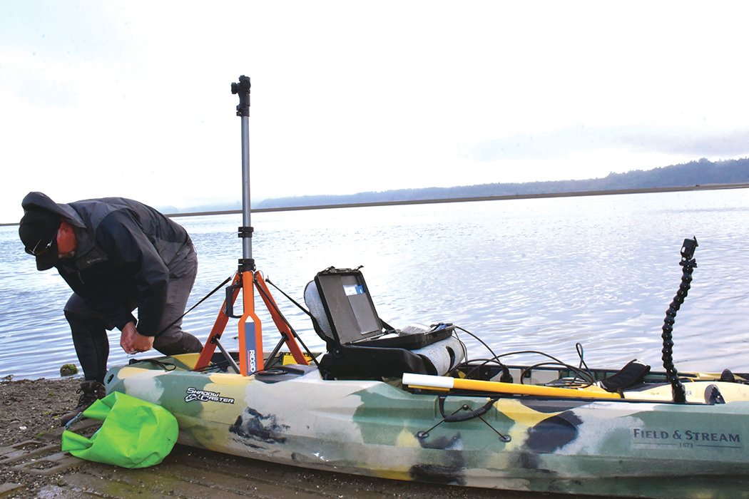


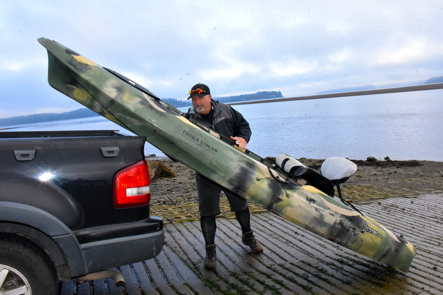
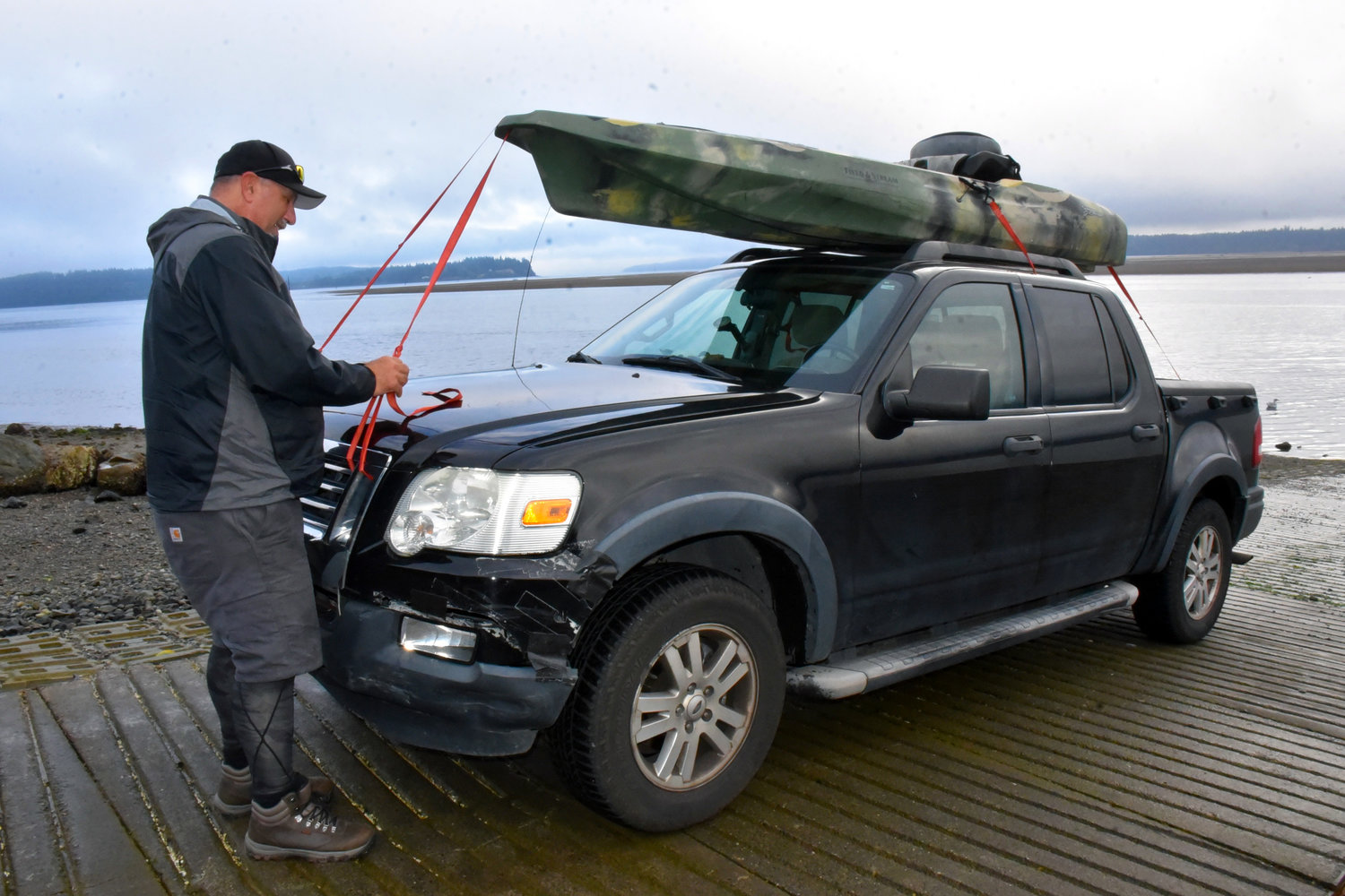
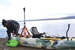

Brian Footen has spent the majority of his working days inside a kayak, with Oct. 1 taking him to the Nisqually Delta.
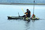
That’s because Footen’s organization, EarthViews, is in the process of mapping 1,200 miles of the Puget Sound nearshore using mobile mapping technology with 360 imagery from a kayak.
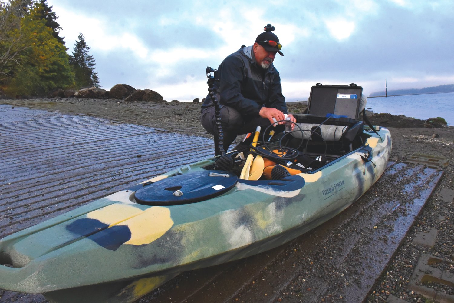
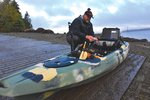
As part of the venture, Footen is also counting birds and animals as well as collecting water quality data that will aid in the conservation and recovery of the ecosystem.
Phase one of the project, the mapping of the nearshore Puget Sound from Seattle to Olympia, was funded by a Kickstarter campaign, and EarthViews has plans to extend the project to the entire Puget Sound nearshore.
Footen is the president and cofounder of EarthViews, and has called the company a social venture with a mission to connect people with waterways.
“So we’ve mapped thousands of rivers and waterways all over the country,” Footen told the Nisqually Valley News at Luhr’s Landing on the Nisqually Delta. “Now, we’re focusing our efforts on the Puget Sound. So I’m here to create … an imaging data map of the Puget Sound, with 360 imagery — think Google Street View, but for waterways and with a lot of data.”
EarthViews has mapped areas of the Elwha River, the Snoqualmie River and the Quillayute River as well as waterways in New York, Colorado, California, Texas and Georgia. It also has a partnership with National Geographic to map waterways in Africa. The maps created are available for viewing on the company’s online atlas.
“Even though we work with stakeholders and county, federal and local agencies — tribes contract us to do this work — we always make sure that it is available on our atlas,” Footen said. “So we have an atlas of waterways that includes almost 3,000 miles in North America (and) 2,000 miles in Africa.”
Footen said the ultimate goal is to bring people to the waterways of the world, with the Nisqually Delta being the most recent venture.
“This is probably one of the highlights of my mapping trip from Seattle to Olympia, which is the first phase of our effort to map the entire Puget Sound,” Footen said while he surveyed the delta.
“It’s an honor to be here,” Footen said. “It’s a sacred place for the Nisqually Tribe. My hope is that the Nisqually Tribe will be able to utilize this as well. It provides a tool, possibly, that will allow tribal elders to see places that are sacred to them that they don’t get to see.”
But the mapping effort isn’t just to connect people with nature.
“It’s a scientific tool,” Footen said. “So I am in regular communication with stakeholders and natural resource managers who are very interested in what the conditions of the nearshore areas of Puget Sound are like. They have some imagery from different places, but not from the water level of the entire Puget Sound.”
Stakeholders are interested in the bird and animal counts, as well as the water quality readings that Footen collects as part of the endeavor, he said.
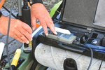
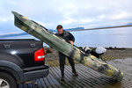
Footen mounts a 360 camera to his kayak, which goes off every 10 seconds as he makes his way around the shore. It geolocates the imagery. And there is a water quality meter that is also synchronized with the camera, which also goes off every 10 seconds and is geolocated.
“So for every scene, if you will, every 10 second scene, there’s a series of 12 different water quality parameters that go with the scene,” Footen said.
He also has an app that allows him to record how many birds and animals he counts at any given location so he can create a map that shows which animals were where, and when he saw them.
“So we’ll have points all along the shoreline on the map in our application that will show you that in this image, at this scene, there were four blue herons,” Footen said. “It’s just a baseline of conditions, really, and this is the first time (it’s been done).”
According to Footen, EarthViews will finish mapping the Puget Sound nearshore from Seattle to Olympia by mid-October, and has already gained momentum for the rest of the Puget Sound, an effort that has many stakeholders excited for the possibilities his maps could create.
“I’ve really enjoyed the conversations I’ve been having with folks,” Footen said. “We’re working really hard to protect and conserve and recover Puget Sound and the species that are here. Hopefully those conversations are going to build relationships that allow it to be easier for me to do this whole thing and work with others.”
The EarthViews online atlas can be viewed at arcgis.earthviews.com/home.html, while the campaign for the project can be found online at www.earthviews.com/puget-sound-mapping-campaign. People can follow along with the progress at www.facebook.com/seepugetsound.


