More rain is on the way. Plenty of it. On Saturday, however, we may see a fleeting break from the wet weather.
Western Washington saw heavy rain Friday due to an atmospheric river, also known as a Pineapple Express, that originated about 30 degrees north over the central Pacific.
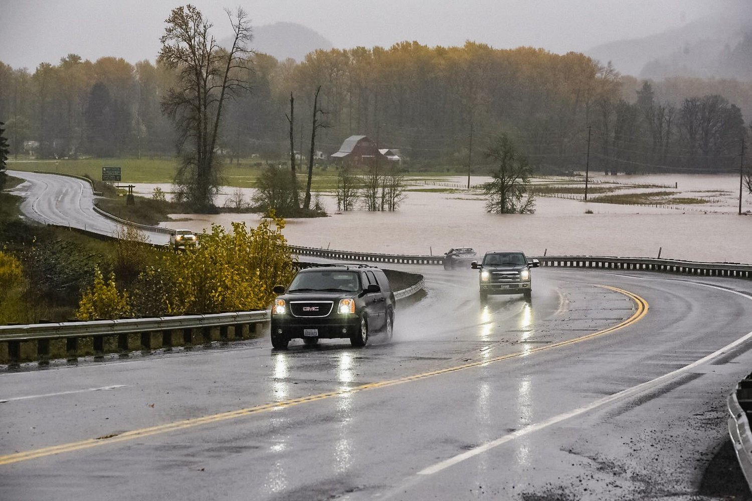
Flood warnings were in place for the majority of Friday for the Chehalis River above Grand Mound, the Snoqualmie River near Snoqualmie Falls, the Puyallup River near Orting, the Nisqually River affecting Lewis and Pierce counties, the Skokomish River at Potlatch, and the Tolt River above Carnation.
The National Weather Service's Weather Prediction Center said regional Doppler radars showed a substantial area of moderate to heavy showers moving across Western Washington and Northwest Oregon on Friday morning, particularly across the coastal ranges and the western slopes of the Cascades.
"It is these areas where the flow will be orthogonal to the terrain and the greatest rainfall totals realized," the Weather Prediction Center said.
Seattle weather service office reported a rumble of thunder around 12:50 a.m. Friday and said a few additional lightning strikes are possible. "When thunder roars, go indoors!" NWS reminded on Twitter.
A flood watch is in effect through Tuesday afternoon for portions of the region, including King, Snohomish and Pierce counties, with flooding concerns near rivers continuing into next week.
While Saturday is expected to be "more dry than wet" during the day, according to Matthew Cullen with the National Weather Service of Seattle, it will likely be raining again by night. That rain will be with us until the middle of next week, when temperatures are expected to "take a dive," the weather service said.
With temperatures set to reach 43 degrees Wednesday and Thursday, get ready to swap your rain jacket for something a bit warmer.


