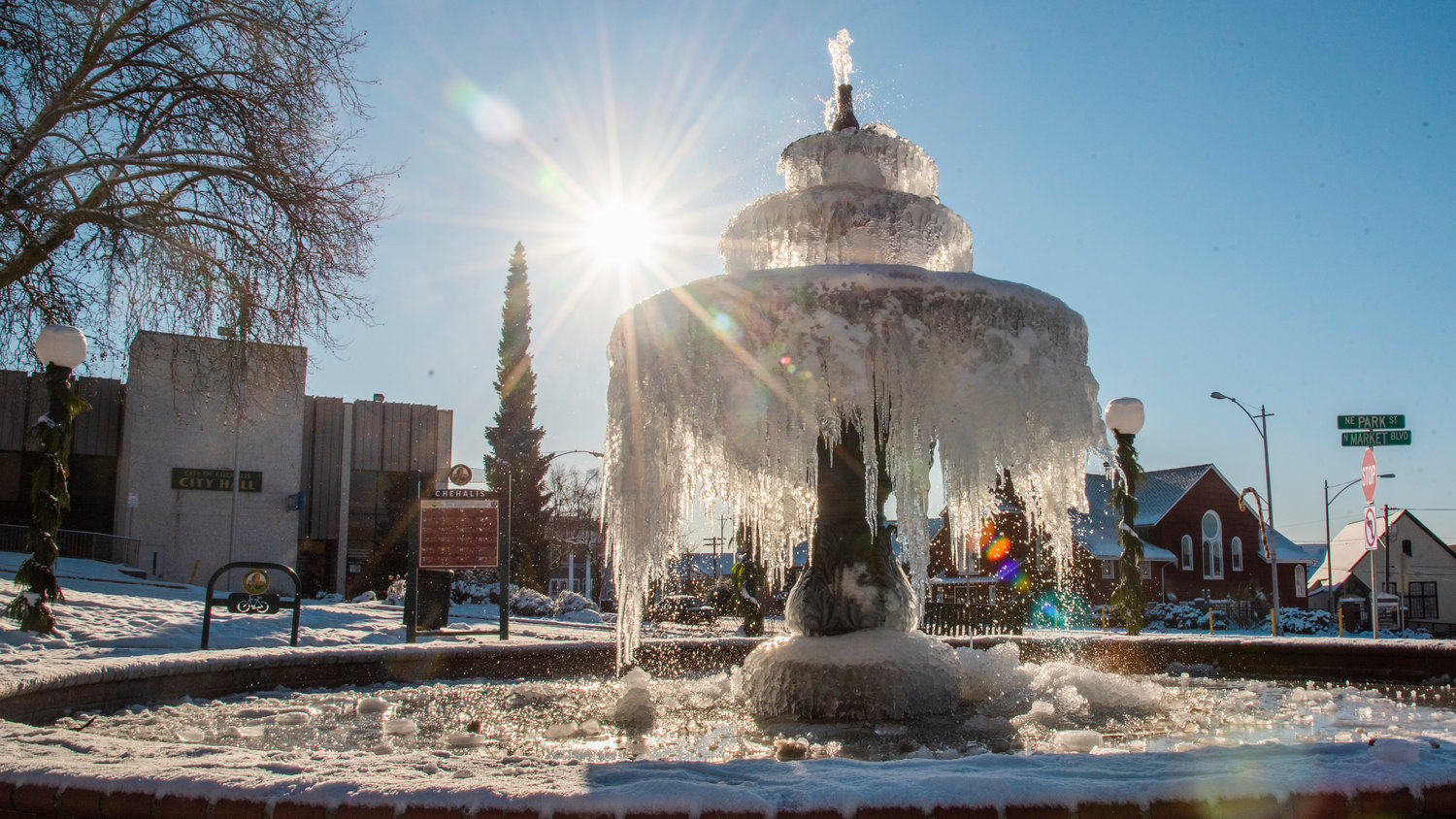
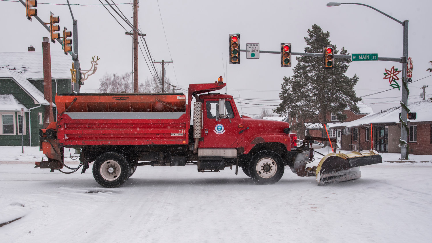

Driving conditions will continue to present a challenge for motorists this week in Lewis County as more snowfall is expected Thursday, but there is relief on the horizon.
Temperatures, for the first time in almost a week, are forecasted to rise above freezing and hit a high of 43 degrees in the Twin Cities on Sunday. There is potential for mixed snow and rain showers toward the start of the weekend, with the chance for freezing rain.
About 1 to 3 inches of snow accumulation is possible Thursday in the Twin Cities, according to a forecast from the National Weather Service (NWS) in Seattle.
"Once you get up toward White Pass, it's probably going to be more along the line of 6 to 7 inches of snow," said Reid Wolcott, meteorologist with NWS Seattle, though it could vary between 4 to 10 inches of new snow.
Ross McDowell, deputy director with Lewis County Emergency Management, said freezing rain happens just above freezing at around 34 degrees. NWS reports that midday Thursday may reach up to 39 degrees, but lows for the next few nights aren’t expected to climb past the low 20s. Between this and the wet snow, roads could refreeze each night.
“The roads are really pretty icy and it's not warming up enough to really do anything for it,” McDowell said. “I'm just watching a guy slide right through by my office on North and Chehalis.”
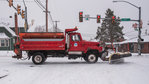
While no roads were reported closed due to the weather on Lewis County Public Works’ website, McDowell said there were plenty of hills in the area that would be “just scary” to drive on right now.
Various services and businesses countywide are currently closed or non-operational, with many local owners taking to Facebook with updated hours for the week. Twin Transit services were among those.
In a Wednesday morning update, the transit agency said regular routes, DARTT and LIFTT services would be suspended due to snow, icy roadways and inaccessible bus stops.
“Twin Transit staff will continue to monitor and assess weather reports, road conditions and bus stop accessibility. If current conditions continue as expected, there is a high likelihood of closure through Saturday, Jan. 1, with anticipated improvement by Sunday, Jan. 2,” stated Twin Transit.
The county’s drive-through COVID-19 testing site at the Lewis County Mall, however, reopened Tuesday morning and is scheduled for regular hours of 8:30 a.m. to 6 p.m. until it closes for New Year’s Eve. For updates on the site, visit Lewis County Public Health & Social Services on Facebook.
The best way to avoid accidents on ice is simple: don’t drive. But, if it’s necessary, McDowell said the most important thing was to slow down.
“Four-wheel drive is no better than two-wheel drive (or) than one-wheel drive when it comes to ice. And that's what you're driving on,” he said. “I'm having conversations this morning with people coming in and saying 'this knucklehead passed me or that knucklehead passed me and he's fishtailing like crazy.'”
For those knuckleheads, McDowell said, “Let them be in front of you, it’s better than behind you.”
Other measures such as layering up should be continued as well, according to NWS and emergency management. Pipes can be prevented from freezing by keeping bathrooms and kitchens warm or by keeping faucets on a low drip.
If pipes do freeze, McDowell — who was an apprentice plumber at one point — said calling a plumber is the best way to go. Do not turn water on high or attempt to blowtorch pipes, as this can cause them to burst.
Pets should also be brought inside whenever possible, he said, because even if it says 25 degrees outside, windchill may make the air feel closer to the low teens.
Providing straw and windblocks is the best way to protect livestock that cannot be kept indoors or in outbuildings.
Wolcott said snow accumulation for the lower Chehalis River Basin could be fully melted by early next week, though Lewis County’s mountain communities could see the snow stick around long after next week.
Another weeklong cold spell similar to this one is unlikely to occur later this winter, Wolcott said, but it’s not impossible. The Puget Sound region is currently experiencing a La Niña seasonal pattern this winter, which is characteristic of higher than average rainfall and below average temperatures.


