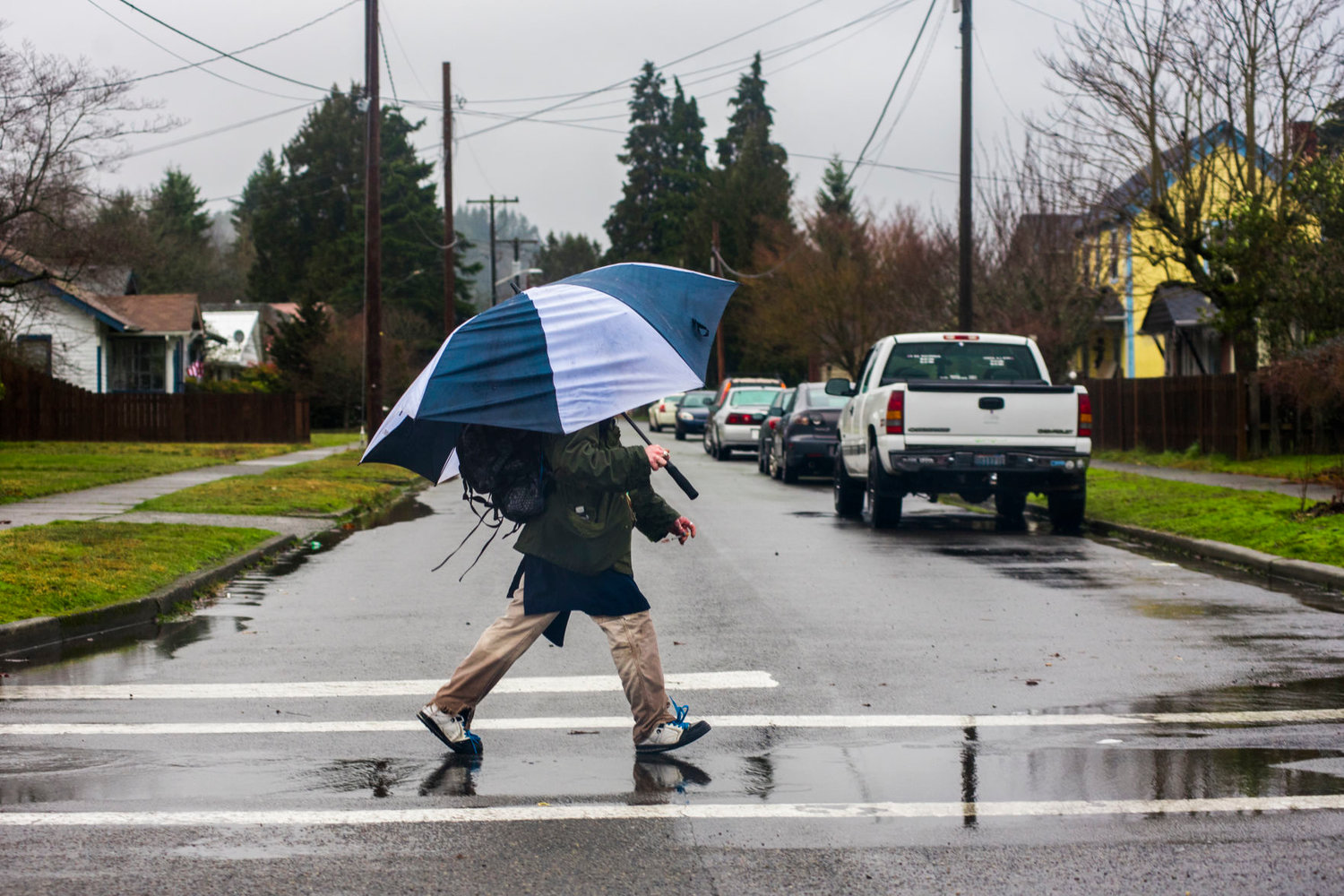
Between several systems, we've got an interesting weekend of weather headed our way, running the gamut from wet, stormy and slightly tropical to more rain than we're used to (at least at this time of year). To make things even more dramatic, a negative leaning slope of low pressure could bring a super thunderstorm Tuesday.
We'll see a little "pre-event" to the drama with some rain Thursday night, according to Maddie Kristell of the National Weather Service in Seattle. A big rain dump could follow on Friday, bringing as much as an inch of precipitation to Seattle and beyond within 24 hours.
"The amount of water content that this system is bringing is pretty anomalous and wetter than we typically see," said Kristell. "That's good news because we lacked some precipitation and this storm will get us some more."
It won't really be a tropical storm, she said, but with the warmer June temperatures and the unusual volume, it could feel that way. High temperatures are predicted to be in the low to mid-60s on Friday and the 70s over the weekend, she said.
That system will likely last through Sunday, with a short break before yet another round of rain on Monday.
Forecasters are keeping an eye on what will happen next. There's a possibility of more stormy weather due to a low-pressure ridge sloped in a line from the northwest to the southeast, said Kristell.
"When it's negatively tilted like that, it brings together wind shear and other parameters we need to get robust thunderstorms really going on Tuesday," she said.
"There's lots to keep an eye on between how much water we get on Friday and how thunderstorms shake up on Tuesday," Kristell said. She added it looks like we may catch a break from the rain on Wednesday.


