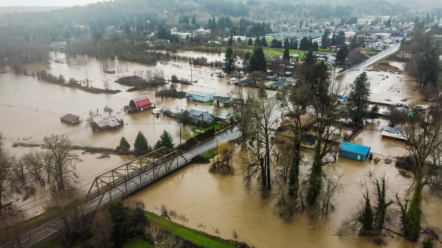


It was perhaps the hardest-hitting flood in well over a decade for the Chehalis Basin.
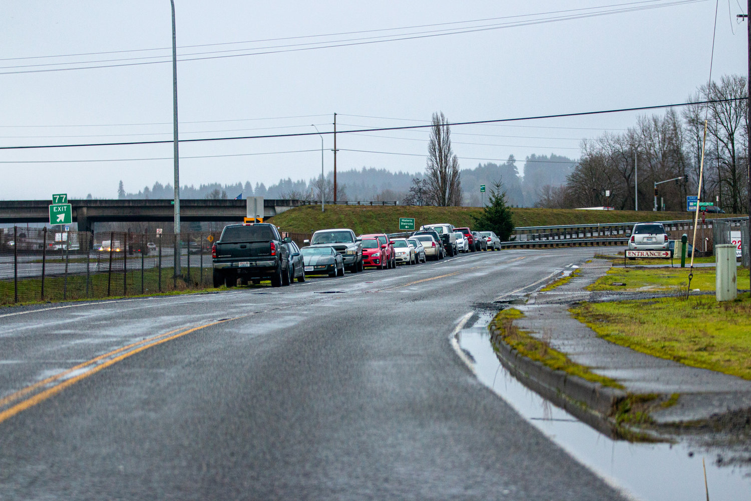
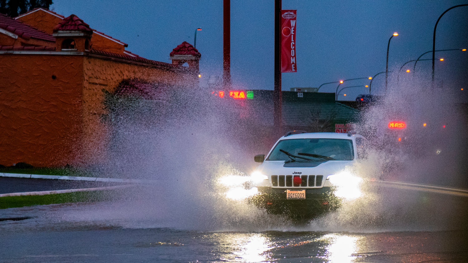
Lowland snow melted away after a warm and concentrated atmospheric river fell on the region Thursday, sending many rivers and other waterways into historic or substantial flooding, leading to the displacement of hundreds around the Twin Cities and closing a 20-mile stretch of Interstate 5 in Chehalis for about four hours Friday.
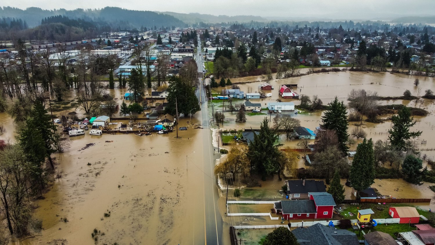
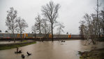
The Newaukum and Skookumchuck rivers bore the brunt of the impact this week, feeding debris and ice-cold water into the Chehalis River and triggering major flooding in the Grand Mound area.
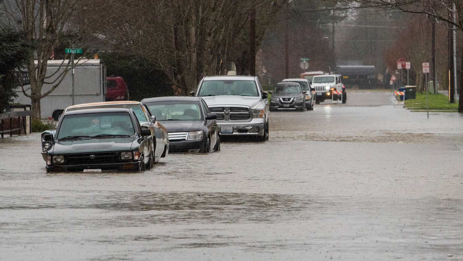
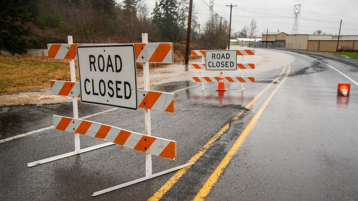
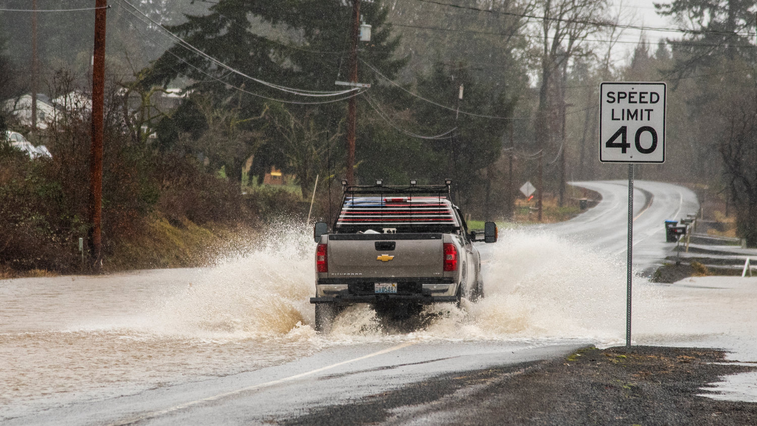
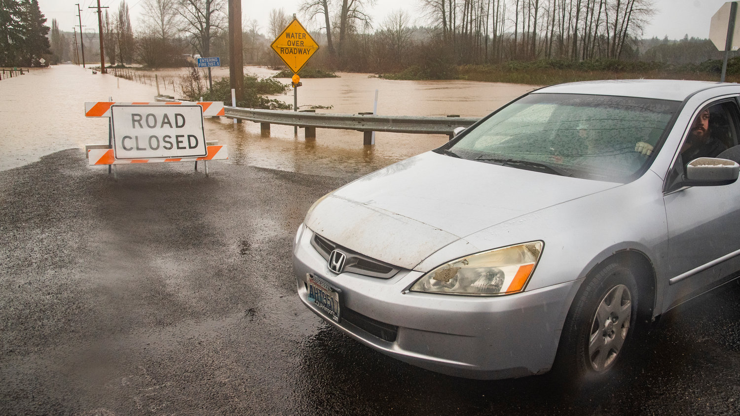
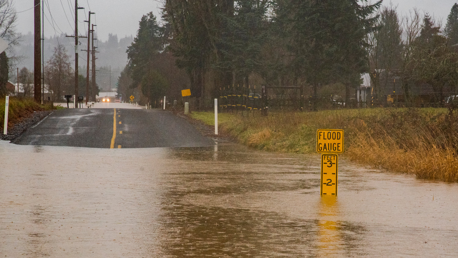
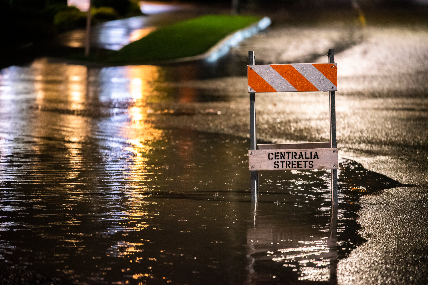
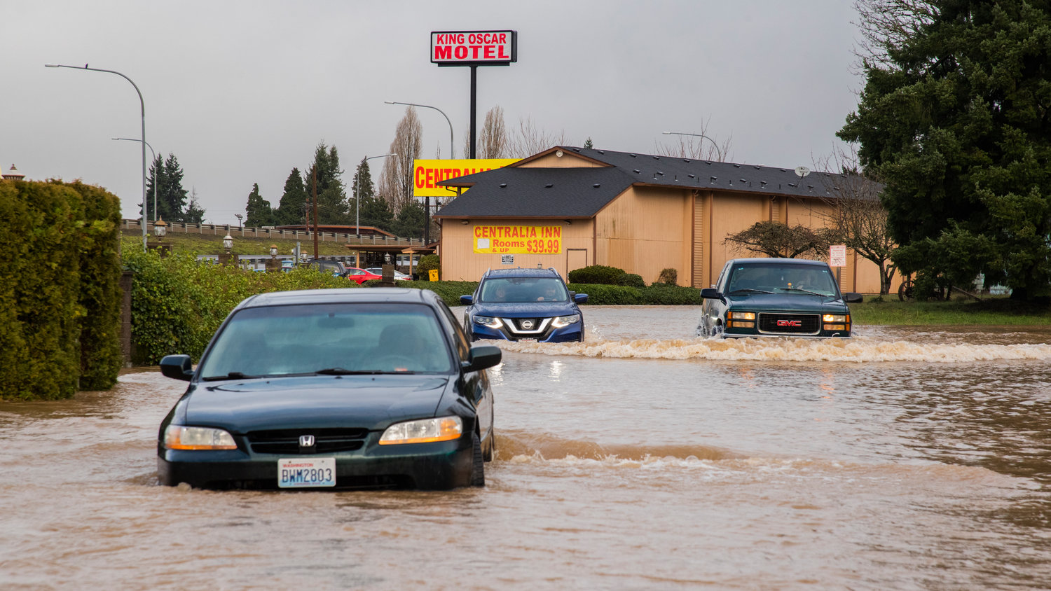
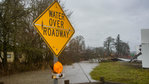
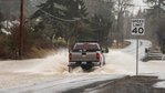
Flooding inundated roadways in Centralia and Chehalis early Thursday morning, and streets remained overwhelmed by Friday afternoon press deadline.
The Skookumchuck River rose drastically early Friday morning in both Bucoda and Centralia, while the Chehalis River at Centralia and Grand Mound had yet to peak as of Friday afternoon.
The Chehalis River at Grand Mound on Friday entered “major flooding” designation and is forecasted to crest Saturday morning two feet below its 2007 record. West Thurston Fire Authority on Thursday was busy conducting rescues.
The Newaukum River at Chehalis crested midday Thursday at a record level, reaching 205.59 feet. The previous record was 205.5 feet set in 1996.
Water from China Creek was still inundating downtown Centralia businesses and homes as of Friday, though it had receded greatly.
Riverside Nursing and Rehab, which lies along the Skookumchuck River in Centralia, evacuated 52 elderly residents late Thursday night to other homes and locations. The Centralia Police Department was still working with the Riverside Fire Authority to evacuate Centralia residents out of houses and hotel rooms that were inundated with water.
School districts in Centralia, Chehalis, Morton, Toledo, Pe Ell and others altered schedules on Thursday, with most of them cancelling class on Friday.
The Confederated Tribes of the Chehalis Reservation and the Quinault Indian Nation also responded to flooding hazards.
A shelter organized by Lewis County and the Red Cross was set up late Thursday night at Centralia Middle School. Between 40 and 50 people were at the shelter by late Friday morning.
“I am cautiously optimistic that we are not going to have the extreme severity that was predicted. Obviously, we still have folks who have been inundated with flood water and we have had people use our shelters,” said Lewis County Commissioner Lindsey Pollock. “We are thankful that it appears not as bad as it could have been.”
But residents should continue to remain aware, even as flood waters recede, Pollock said, because “every flood is different.” Drivers should not travel through high street water.
Pollock said Congresswoman Jaime Herrera Beutler’s office was in contact and “on standby and ready to help as we are needing more information from our federal partners.”
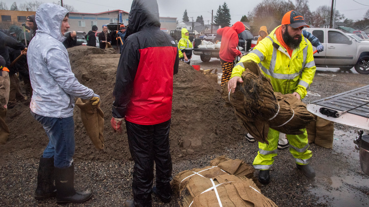
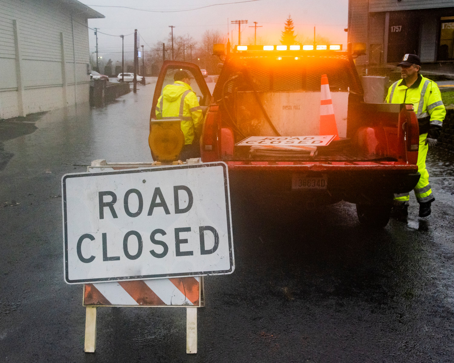
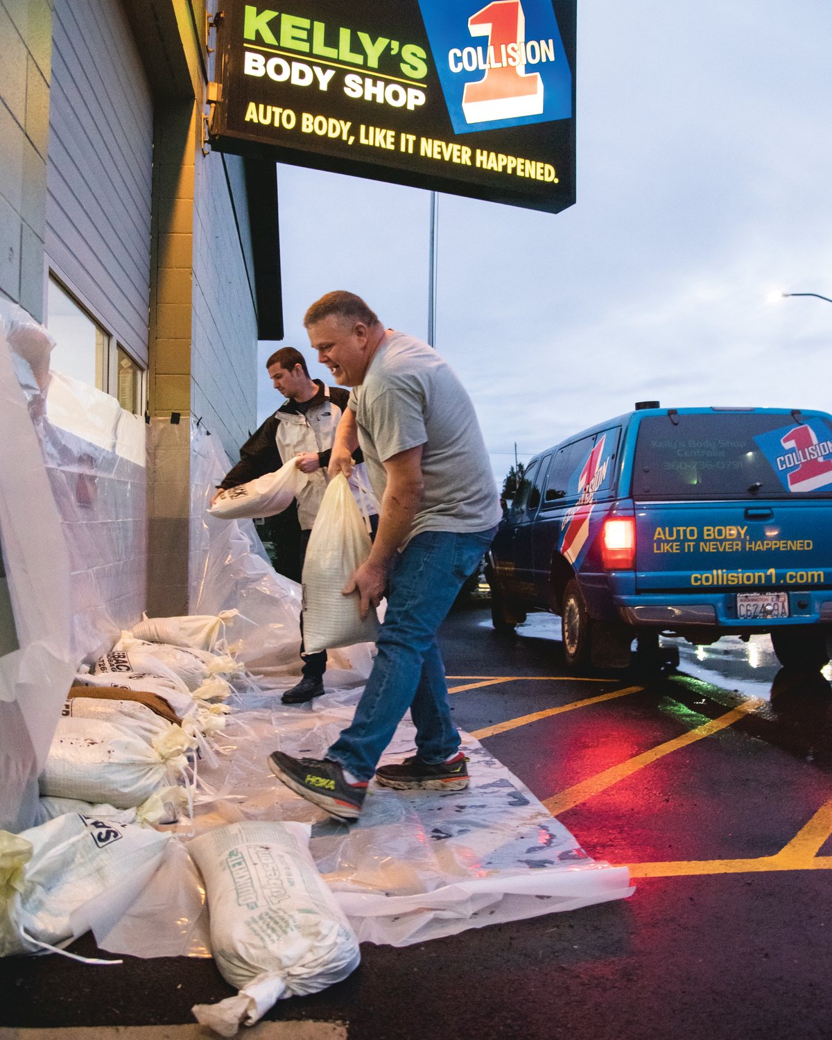
At a last-minute meeting held Thursday afternoon, Lewis County commissioners declared a state of emergency to free up state and federal resources. More than 40 county roadways were impacted by rising waters later that day.
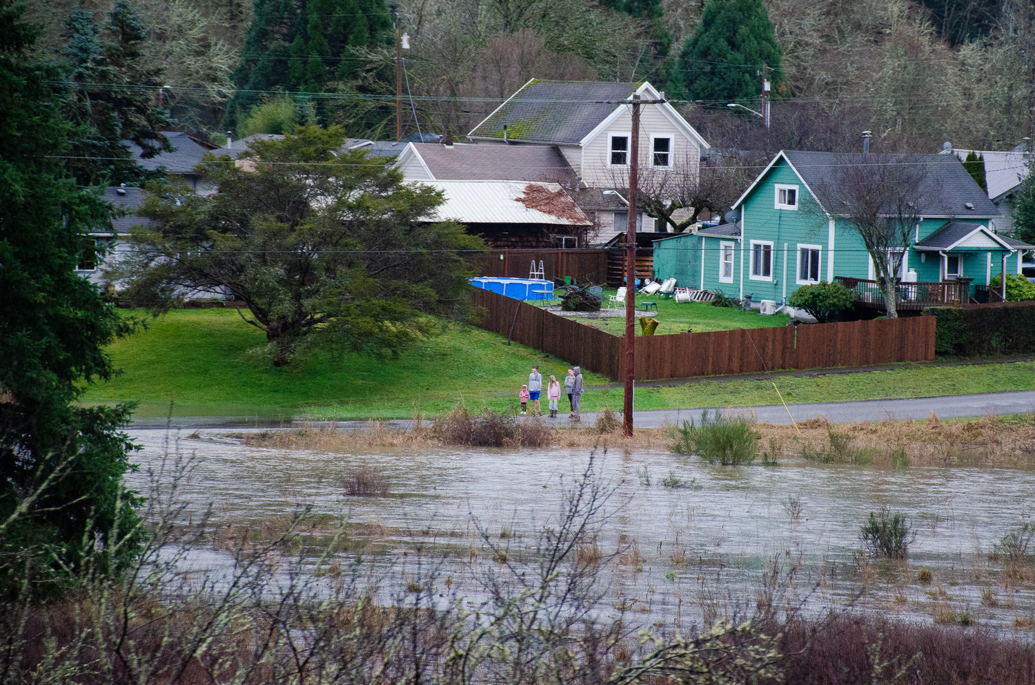
Though flood waters crept close to historic levels observed in 1996, 2006, 2007 and 2009 — aside from the Newaukum River at Chehalis, there was no damage on the scale of those massive disasters.
J. Vander Stoep, a Chehalis Basin Board member, said that is likely because the main stem of the Chehalis River was considerably lower this time around — by about 3 to 5 feet.
“I know there are people being damaged now on the Skookumchuck and on the Newaukum, and obviously anybody who gets flooded is a concern to our community, but the difference between that and the damages from the ‘07 and ‘96 flood is very dramatic in terms of the scope,” Vander Stoep said. “The main stem of the Chehalis River is the door for every tributary … For now, it looks like that door will continue to stay open and allow for those tributaries to flow out.”
Combined riverflow on both the Newaukum and Skookumchuck rivers even during peak tides couldn’t scale up to even half of the 52,000 cubic feet of water the Chehalis River mainstem discharged back in 2007, Vander Stoep said.
“That doesn’t account for the south fork,” he said, adding “we are very, very fortunate.”
It will likely take days — perhaps multiple weeks — to truly understand the economic toll this most recent flood had on Chehalis Basin residents. Waters were expected to begin receding Friday afternoon, a National Weather Service meteorologist told The Chronicle.
David Curtis, senior vice president of WEST Consultants, which has managed the Chehalis Basin’s early warning systems since 2010, said this flood was a concentrated event that shouldn’t be downplayed.
“The forecasted rain amounts weren’t all that scary. However, there was a significant amount of snow on the ground even at low elevations. And you had warming temperatures, and rain, all of that on top of saturated soils … When you put all those factors together, then you have the ingredients for a major event,” he said.
The river gauge at Doty, which lies along the mainstem of the Chehalis River, east of the city of Chehalis, never rose above “minor flooding” designation. If it had, damage to businesses and homes might have been more severe and the threat to life could have been higher.
“So, even though the Doty gauge and that part of the basin wasn’t a big contributor, there was still enough water coming in from other tributaries to flood the Grand Mound area,” Curtis said.
People along the river were also more prepared this time around, too. Curtis said the National Weather Service hit their forecasts right on the mark and were able to accurately predict river flows three days in advance.
“This is a reflection of the evolution of the science in weather forecasting and the development and our understanding of these atmospheric river events,” he said.
The Twin Cities will remain in a flood warning through Saturday night. Rain will continue through the weekend, according to NWS Seattle, though rainfall Saturday is only expected to bring a tenth of an inch.


