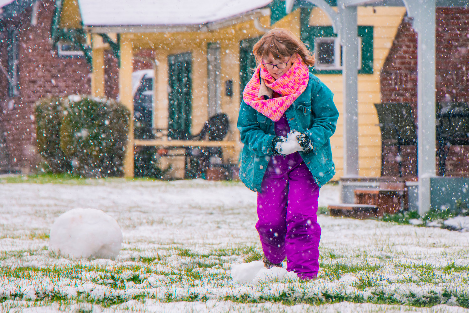
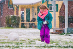
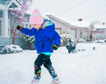
Krystin Harris, 10, smiles as she gathers snow for a snowman in front of her Chehalis home Thursday afternoon.
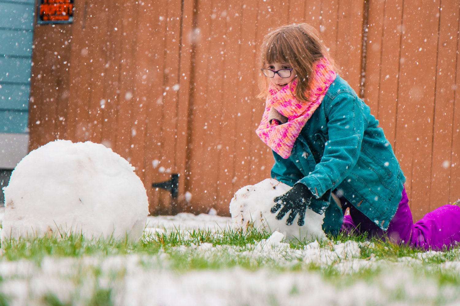
Krystin Harris, 10, smiles as she gathers snow for a snowman in front of her Chehalis home Thursday afternoon.
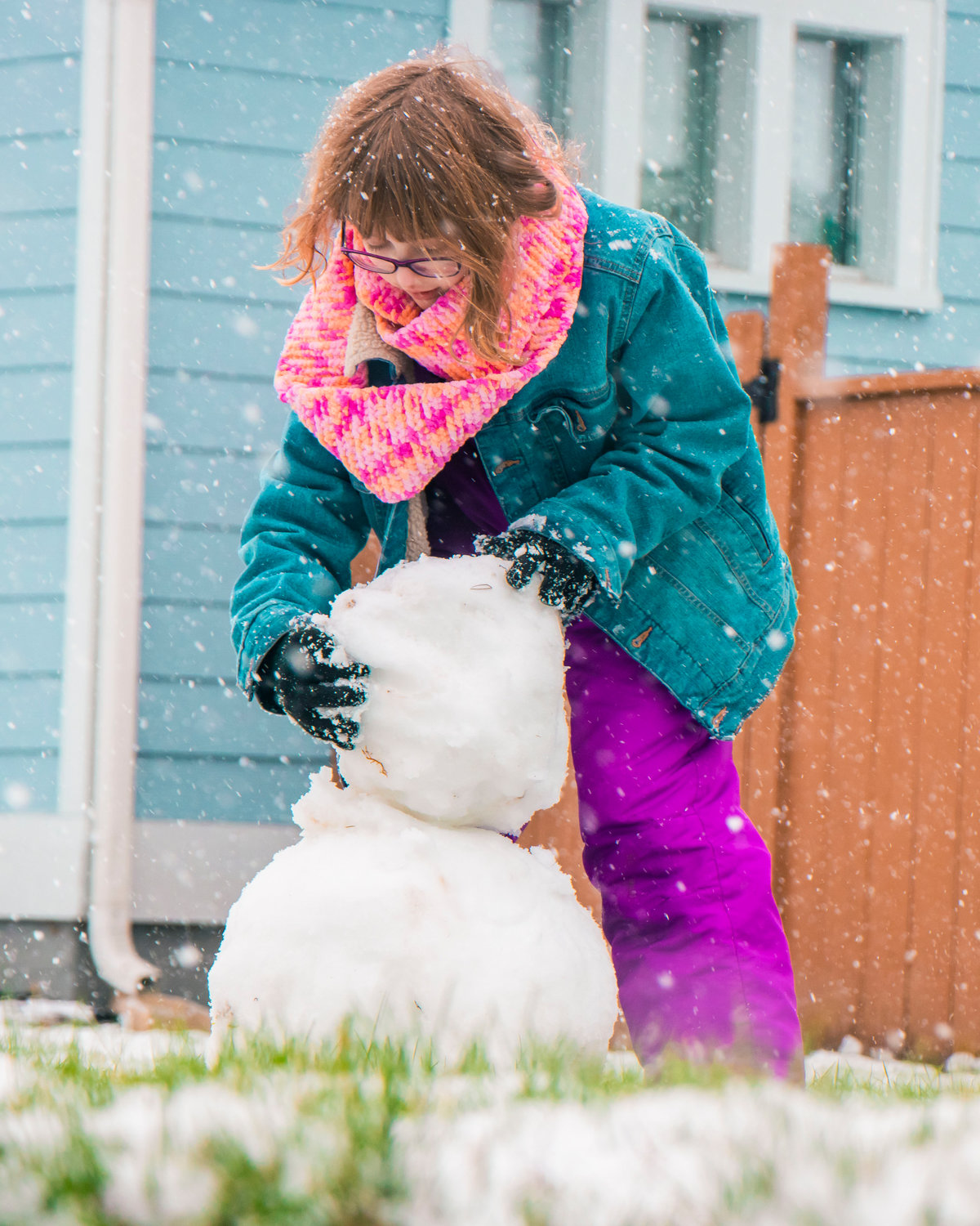
Krystin Harris, 10, gathers snow for a snowman in front of her Chehalis home Thursday afternoon.

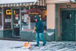
Powder is shoveled off sidewalks in front of the Chehalis Deli on Friday as snow continues to fall.

Birds sit in a pear tree as snow falls in Chehalis Friday morning.

Powder collects on a chicken statue as snow falls in Winlock on Thursday.

Snow collects on a tree in Winlock on Thursday.
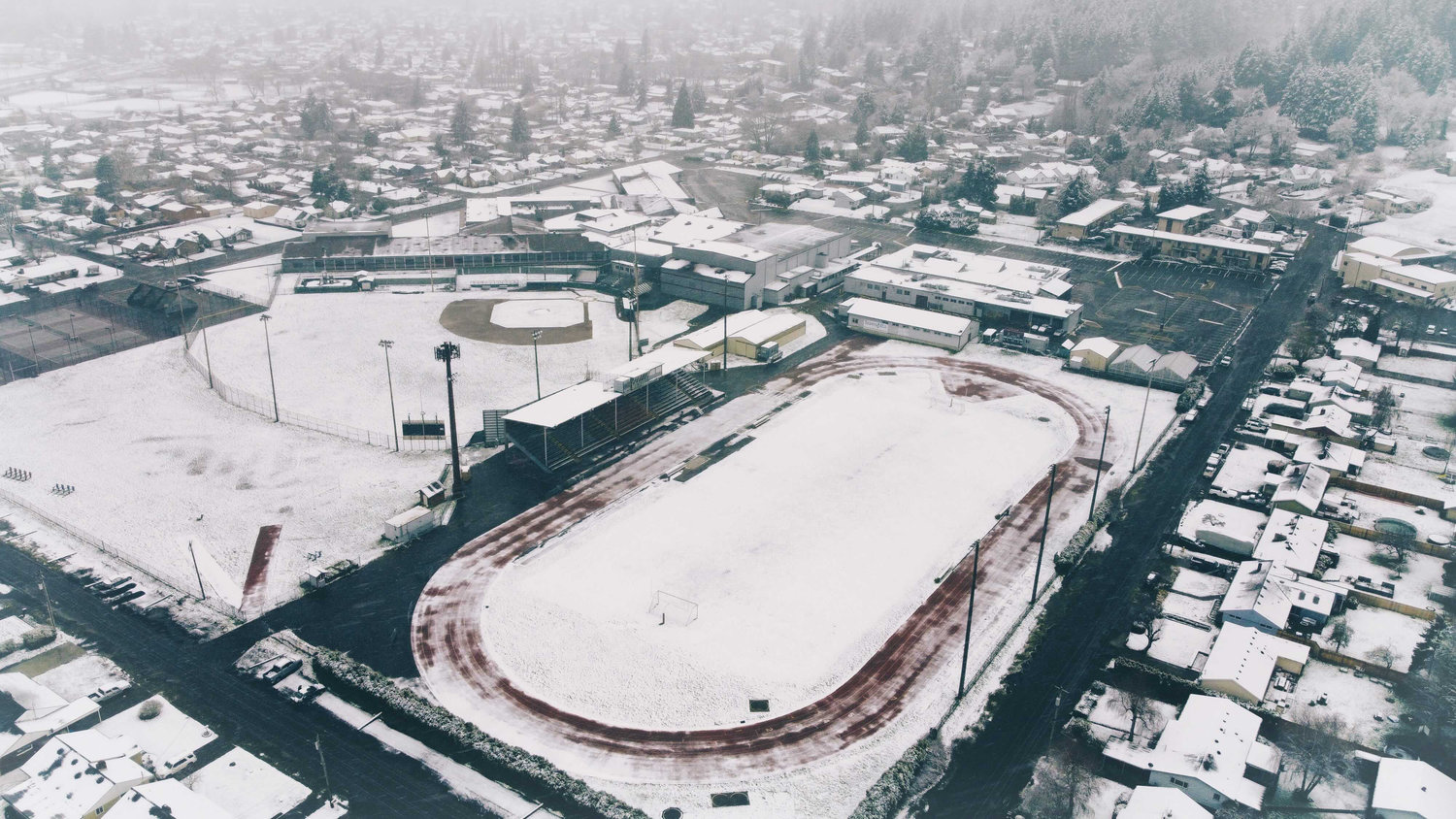
Snow blankets W.F. West High School's football and baseball fields Thursday afternoon. The Bearcats canceled their volleyball game against Centralia Thursday.

A grocery bag is repurposed, being used to push snow off a car Friday morning in downtown Chehalis.
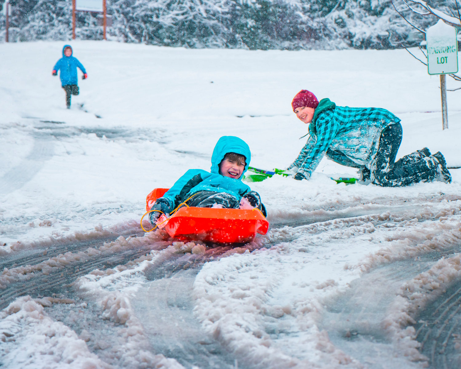
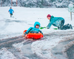
Connor Klovdahl smiles and looks on as his little brother Soren races down SE Fourth Street as Evan White chases on foot in Chehalis on Friday.
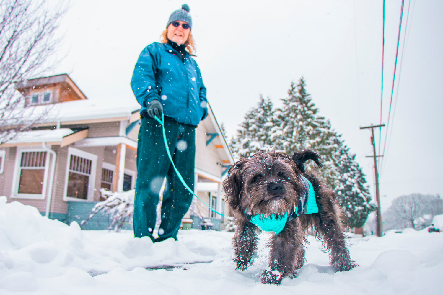
Paul Monday, a Chehalis School District bus-driver takes his dog Chewy for a walk in Chehalis on Friday.

Arlen Hunt, left, and Sofia Melchor attempt to build a snow castle on Friday in Chehalis.
Aria Johnson runs by as Jackson Brockus covers himself in snow in Chehalis on Friday.

A snow creation stands in Chehalis on Friday.
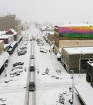


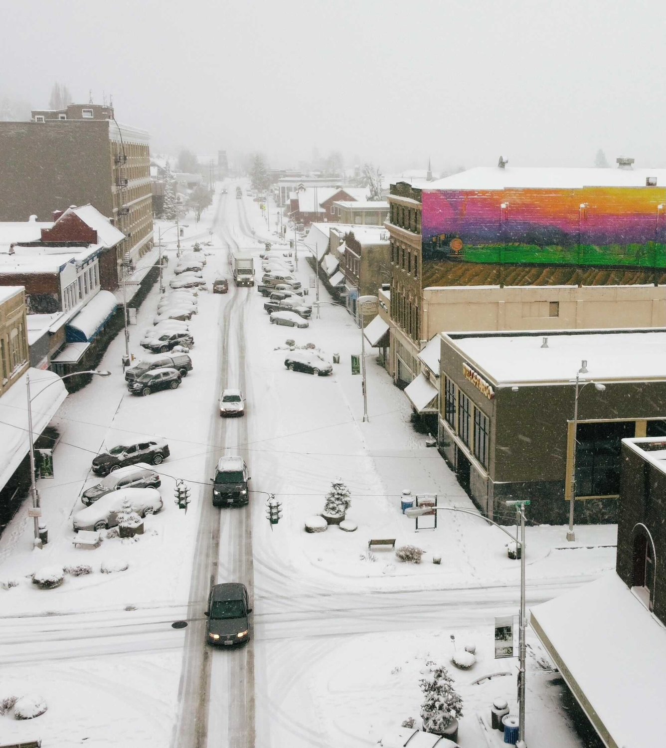
Parts of Centralia, Rochester and Tenino received 6 inches of snow Thursday night, while most of Lewis County received anywhere from 1 to 5 inches, as a February snowstorm blanketed the county for the first time this winter.
The bulk of the snowstorm was expected to happen Friday night through Saturday morning, when the Interstate 5 corridor was predicted to see up to 5 additional inches of snow, said Jeff Michalski, meteorologist at the National Weather Service in Seattle.
“That’s the period with the highest snowfall totals across the area,” Michalski said. “It’s a major storm for the region.”
The Hood Canal area is expected to see the highest total snowfall in Western Washington during this weather system.
Lewis County residents will likely see the snowfall begin to taper off by Saturday afternoon with a slight break in the system. However, there will be lingering impacts of the snow on the ground heading into Sunday, as temperatures are expected to remain below freezing Saturday night and Sunday. There won’t be any significant melting during that time, Michalski said, and roads will likely still be very icy.
The next weather system moves in Sunday night into Monday, a pattern that will bring some warmer air inland from the Pacific Ocean. Snow levels will rise, but there will be a transition from snow back over to rain during that time period, Michalski said.
“Depending on how much snow is on the ground, it’s going to take a little bit for all that to melt,” Michalski said.
Temperatures are expected to moderate further into next week, which will bring warmer temperatures and rainfall.


