


Flood Season: As Winter Approaches, Local Leaders Hold Annual Meeting to Discuss Forecast, Risks and Mitigation
With flood season approaching in the Chehalis River Basin, and with Western Washington’s first major seasonal rainstorm in the books, the Lewis County Emergency Management Department is again promoting awareness and preparedness in the event disaster strikes.
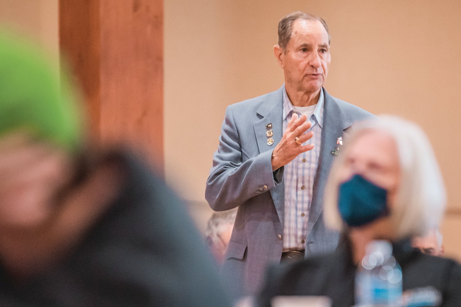
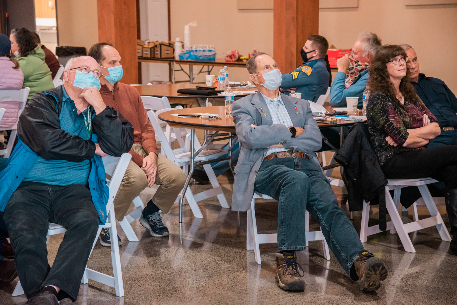
As the rain let loose outside, first responders and county leaders gathered Monday afternoon at Jester Auto Museum for the 21st annual Lewis County Flood Meeting, where discussion ensued about the upcoming flood season.
“The thing that really comes together to save lives and reduce property damage is communication,” Lewis County Commissioner Lindsey Pollock told a room half full of attendees.
This winter is forecast to be another La Niña weather event — with an 87% probability, according to the National Oceanic and Atmospheric Administration — which will likely bring cooler and wetter months ahead for the Pacific Northwest.
Last winter’s La Niña resulted in record-setting snowfall that pummeled the region in a short timespan.
But staff with the National Weather Service (NWS) in Seattle say seasonal atmospheric patterns aren’t fully indicative of how severe a flood season might be.
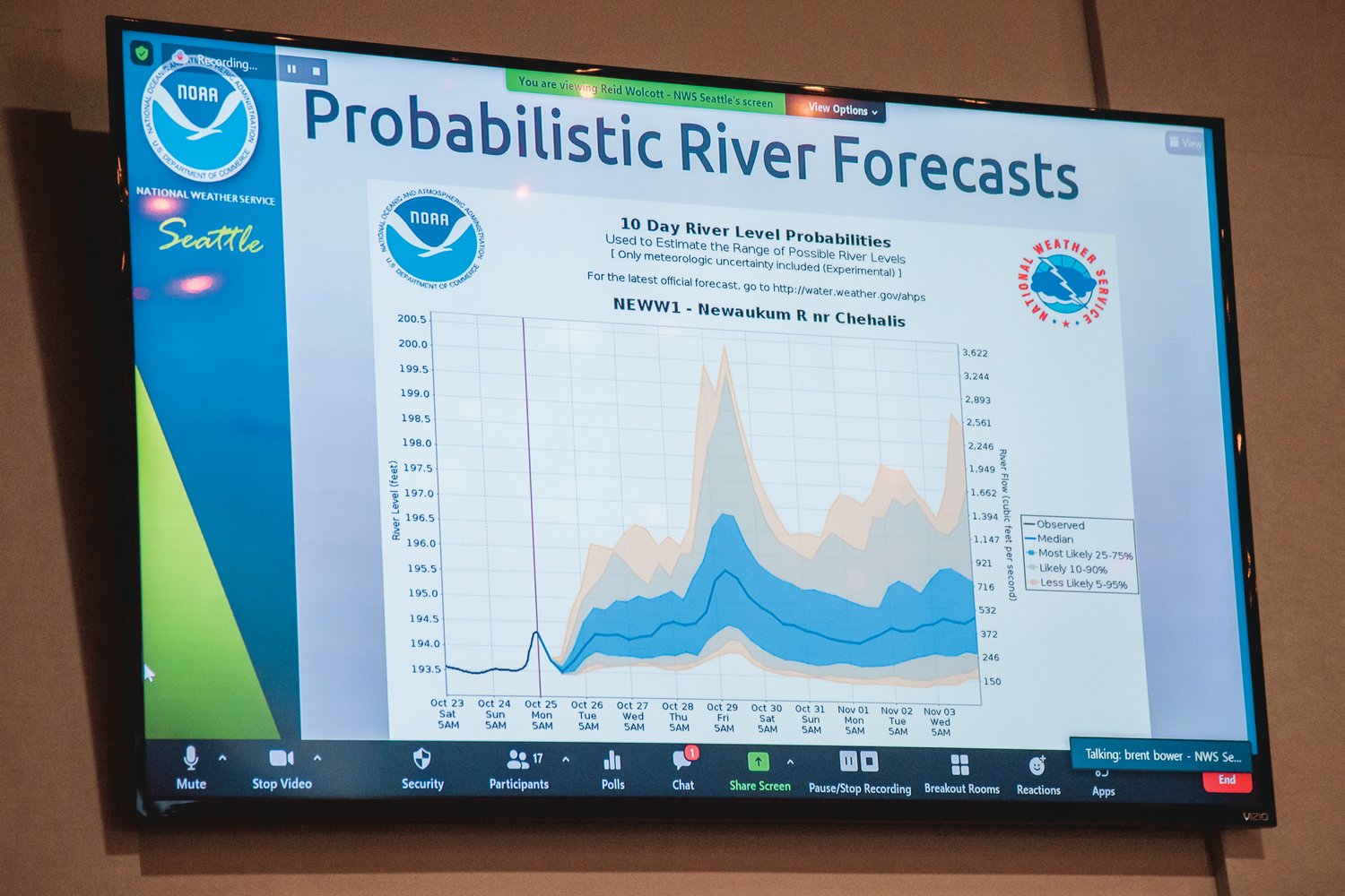
“Most of the storm systems that we experience impacts from are short duration in nature and are not well predicted by these outlooks. So our atmospheric river events and our wind storms are not well predicted. They are predictable out to a week, maybe two weeks at most,” said Reid Wolcott, a warning coordination meteorologist with NWS Seattle.
That means disaster often strikes quickly and, as some Lewis County residents might recall, at any hour of the day.
The region was due to see another moderately strong atmospheric pattern come in Wednesday and continue through Friday, Wolcott said. No flood warnings or watches had been issued for Lewis and Thurston counties as of Wednesday morning, but advisories were in place further north. The NWS warned that “minor river flooding is possible for a few rivers by Thursday night or Friday.”
Ron Averill, a former Lewis County commissioner who represents the City of Centralia on the Chehalis River Basin Flood Authority, said the community was able to learn after the catastrophic 2007 flood and mitigate losses in the subsequent floods in 2009. The fiscal impact of the 2007 flood was about $1 billion compared to the $3 million in damages reported just two years later. Part of that, he said, was due to improvements made by business owners and the public.
But it’s possible that new residents don’t know about the threat of flooding, and some longtime residents have become complacent.
“The problem is that the further we get away from the flood, the less we’re concerned about it,” Averill said.
Keith Rudie, an engineer with the U.S. Army Corps of Engineers who was also at the meeting, said his team was out at levees along the Chehalis-Centralia Airport, Long Road and along the Skookumchuck River on Monday, examining the condition of the structures in preparation for the flood season.
Local governments sponsor and maintain the levees, Rudie said, and the federal government often steps in to help with major refurbishments through the Levee Rehabilitation Program.
“These sponsors are fantastic. They really take care of their levees, and that’s because of what’s happened in the past,” he told The Chronicle.
Rudie also praised the flood meeting itself, noting that “there really is a great, collaborative process as far as flood response and emergency management.”
Scott Boettcher, a staff member with the Chehalis River Basin Flood Authority, highlighted the river gauge expansion work that has been underway in recent years in the basin. There are currently 99 total sites in the Chehalis Basin feeding information from 285 total sensors along major waterways.
There are currently 11 water level gauges along the Chehalis River that nearby residents can receive email alerts from the Flood Authority about. There are currently about 1,300 addresses receiving those updates.
That information can be found at www.chehalisriverflood.com.
“There’s a lot of information that is coming right from the ground that is feeding to the National Weather Service all the time, in real time, and that really helps to take away that surprise factor,” Boettcher said.
Officials are also installing webcams to provide more context to the data that is being collected.
Boettcher said they’re hoping their website can serve as a portal for pertinent flooding information, which is now more accessible and quicker to access with cellphones than it ever has been in the past.
"We're far better along than we were 10 years ago," he said.
Lewis County Emergency Management also offers an alert system called “Lewis County Alert,” which residents can sign up for to receive information pertaining to police, fire, severe weather and health and safety. A free subscription can be obtained online at https://lewiscountywa.gov/departments/emergency-management/lewis-county-alert/.
Emergency Management also encourages all county residents to be “disaster ready” by creating plans through hypothetical scenarios and to be “two weeks ready” by collecting supplies for an emergency kit.


