

The Goat Rocks Fire area closure on the Cowlitz Valley Ranger District was recently updated to allow increased public access in the Packwood Lake area, the U.S. Forest Service announced last week.
The areas that remain closed are within the footprint of the Goat Rocks Fire, as there are still active hazards in the area, according to a news release. Work to mitigate post-fire hazards and repair damage to roads and trails will take place through the coming summer.
Hazardous conditions persist in the burned areas, including fire-weakened trees along roads and trail systems, unstable slopes, areas of active burning and rolling debris, according to the U.S. Forest Service.
Forest officials encourage the public to continue to observe temporary fire closures for both public and firefighter safety.
The Goat Rocks Fire was 66% contained as of Feb. 16, according to a news release from the U.S. Forest Service. The primary focus of fire suppression has been near the Packwood Community. The 34% of fire that is not currently contained is mostly within the Goat Rocks Wilderness, according to the news release.
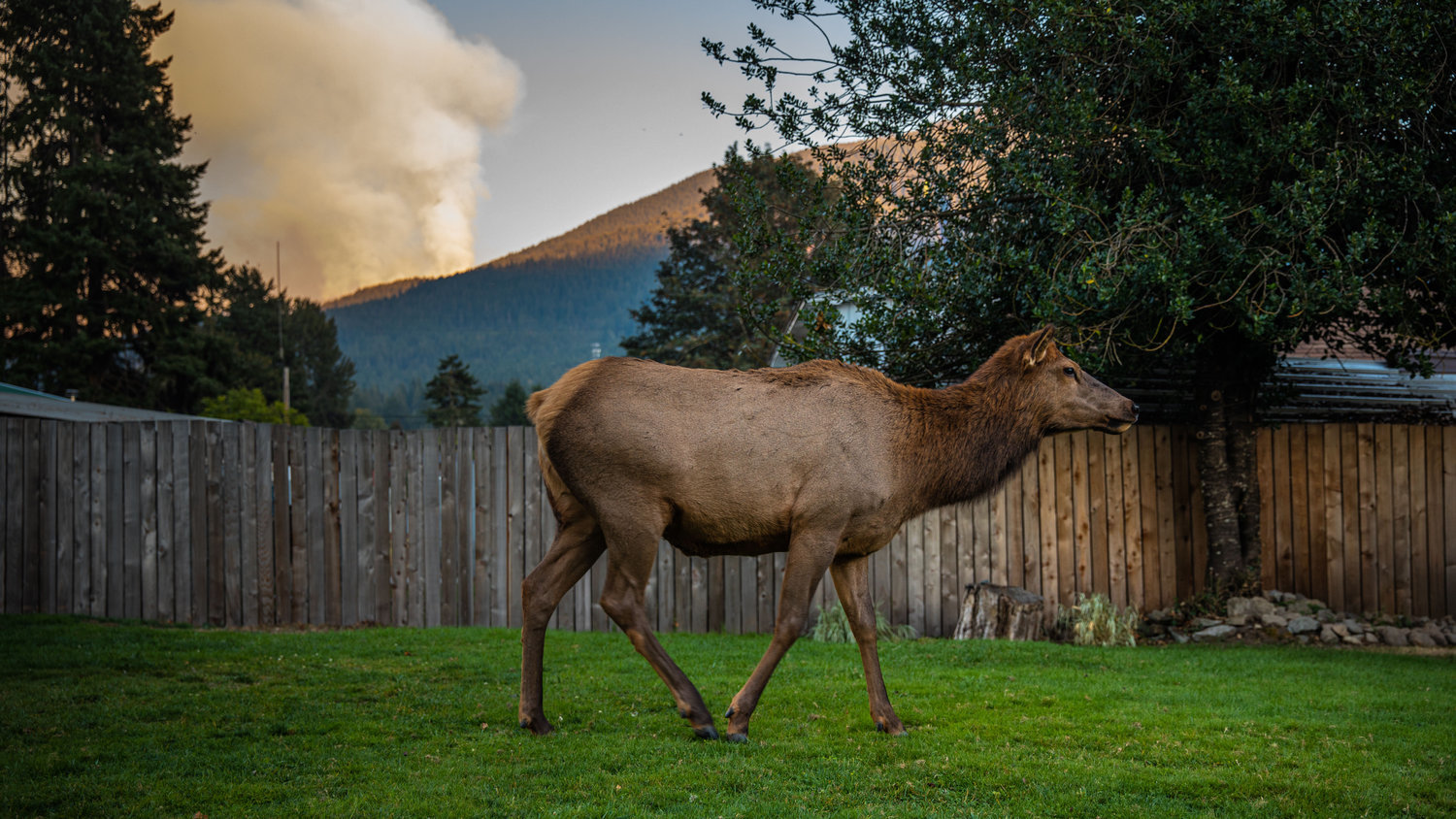
Many wildfires can persist through the snow and rain of winter to re-emerge in spring, according to the news release. A smoke column from Goat Rocks Fire was observed Dec. 7 near Lava Creek, which was a signal that the Goat Rocks Fire is still burning, possibly under heavy duff or within large trees or root systems, per the news release.
Fire managers anticipate that areas of residual fire may re-emerge this summer when warm dry conditions return. If this happens, smoke may be visible from Packwood and U.S. Highway 12. Additional resources will be assigned to the fire as needed to conduct fire suppression and repair work, according to the news release.
Within burn areas, falling trees can block roads and, potentially, strike passing or parked vehicles. Trees and rocks are especially likely to fall during heavy rain and wind events. Many forest roads are narrow, with little room for passing vehicles.
Visitors are reminded that forest roads are not maintained in winter.
“Be sure to check current conditions before you visit and be prepared to encounter downed trees or other debris,” said the U.S. Forest Service in a news release.
The fire was sparked by a lightning strike on Aug. 9 and began to grow rapidly Sept. 9.
The fire’s footprint was 6,196 acres when fire resources were released from the scene in late October.


