


From January to October, Lewis County had its 14th driest year in the last 129, according to the National Integrated Drought Information System website, drought.gov.
Another statistic on the website is far less surprising: 0% of Lewis County residents are impacted by drought as of Dec. 8.
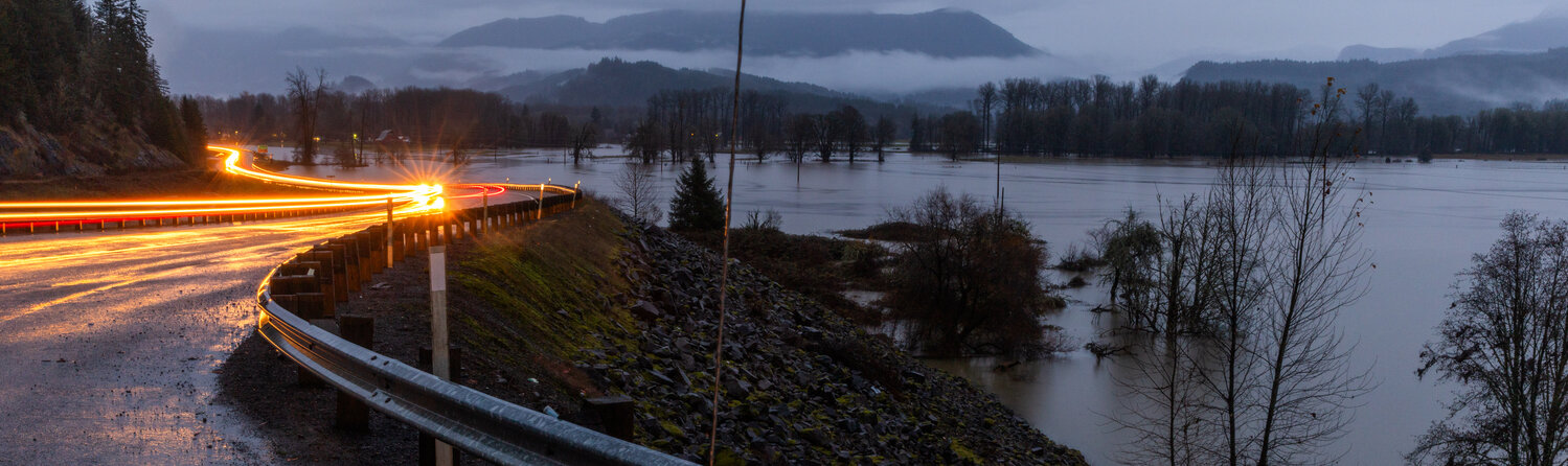
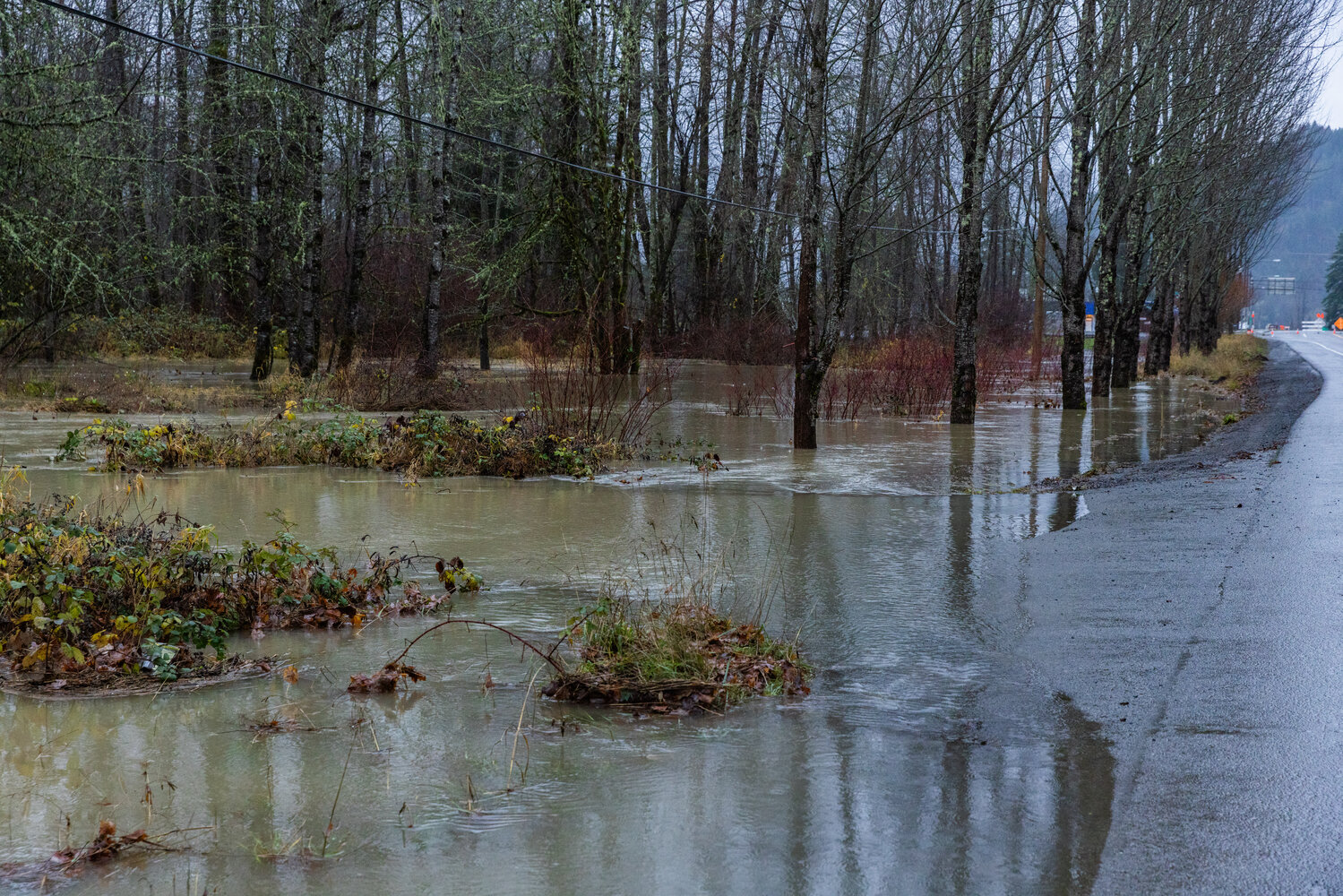
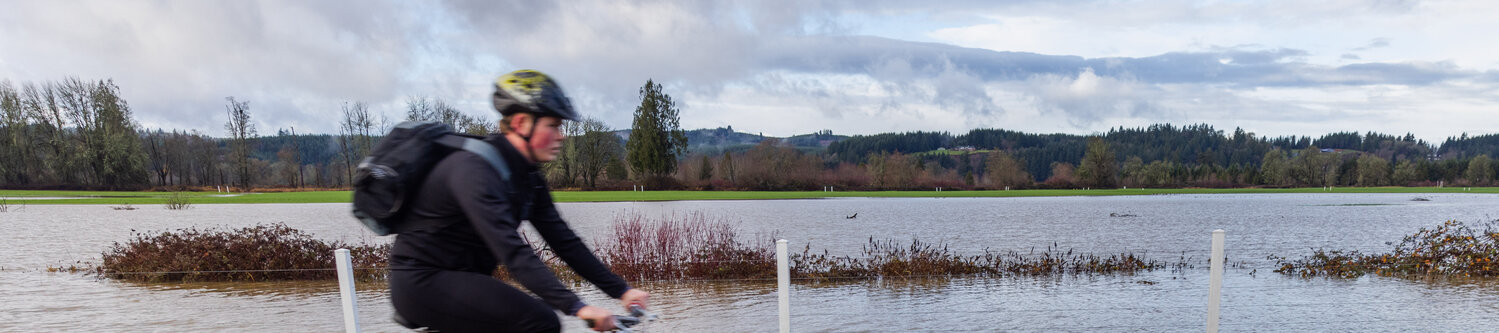
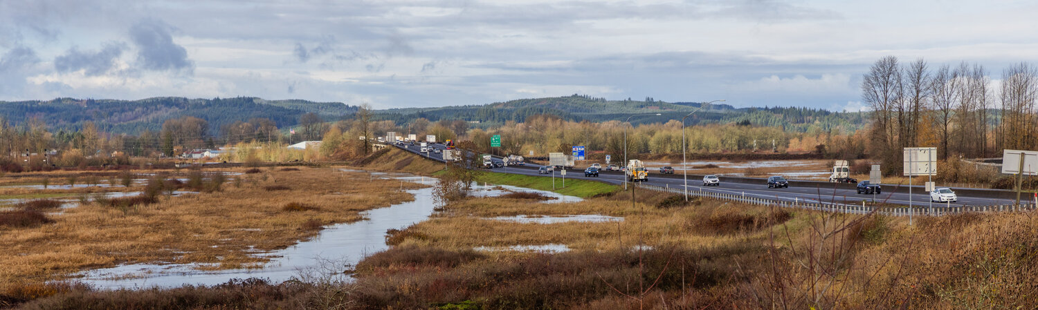
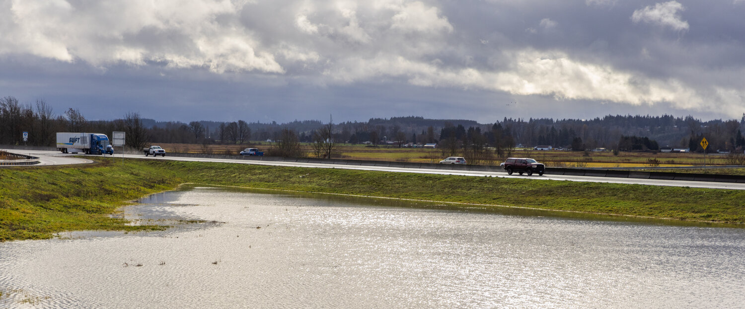
Heavy rain early this week ushered in mild to moderate flooding on the county’s two major river systems, the Cowlitz and Chehalis. With the ground dry from this year’s drought, Lewis County Emergency Management Deputy Director Ross McDowell compared the rainstorm to water hitting a rock.
“A drought is bad,” McDowell said. “It can cause your first couple rains to be real gully washers.”
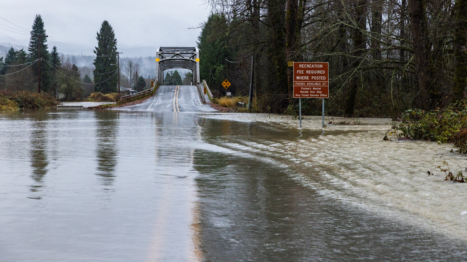
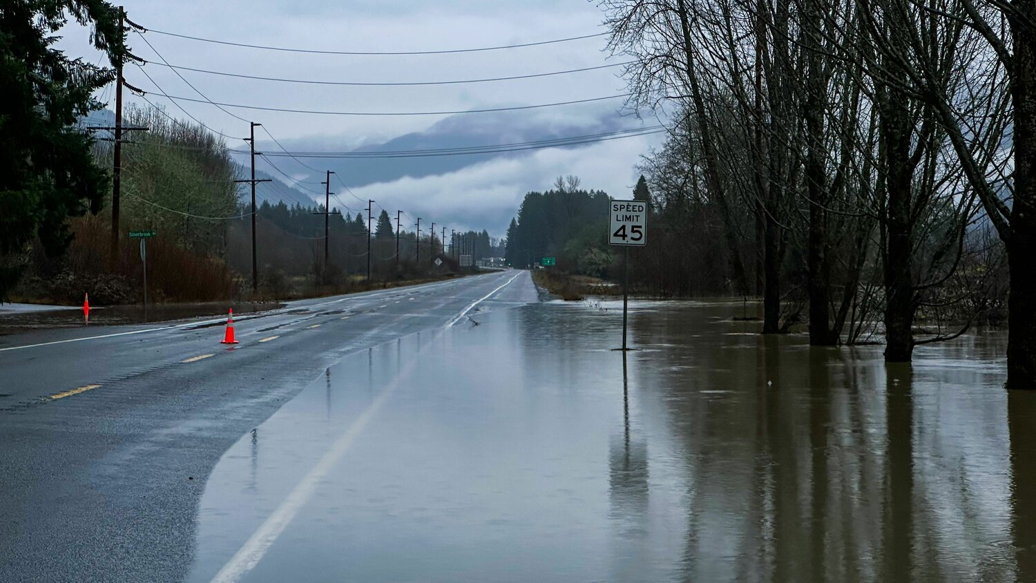
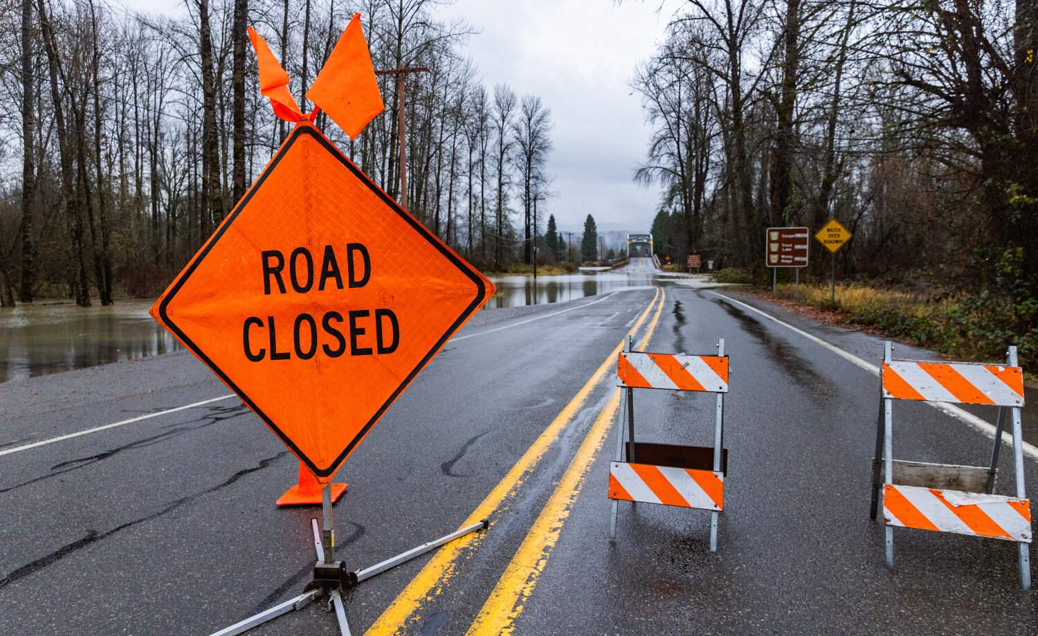
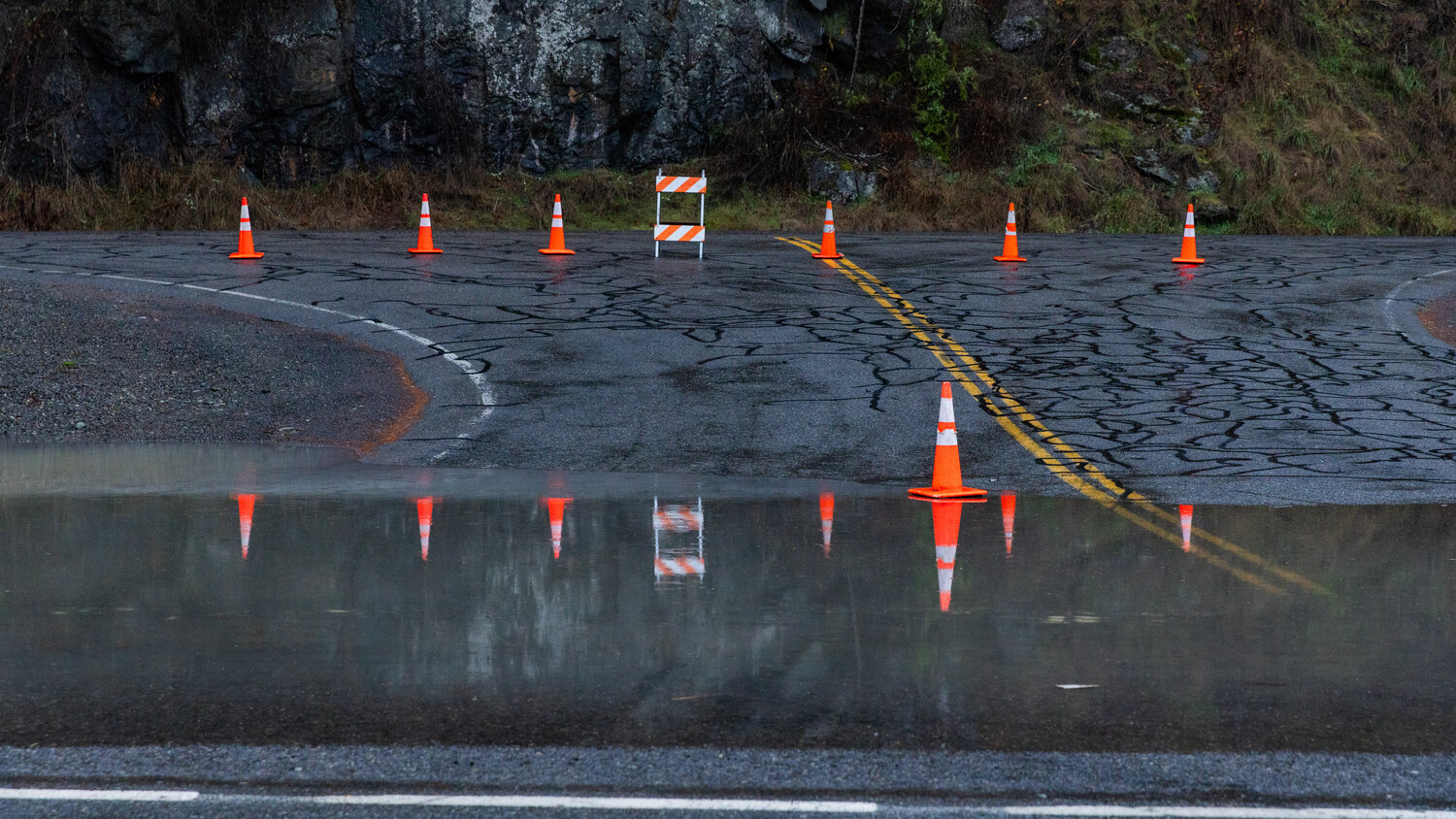
Rivers rose and surface flooding impacted roadways from the east to west ends of the county.
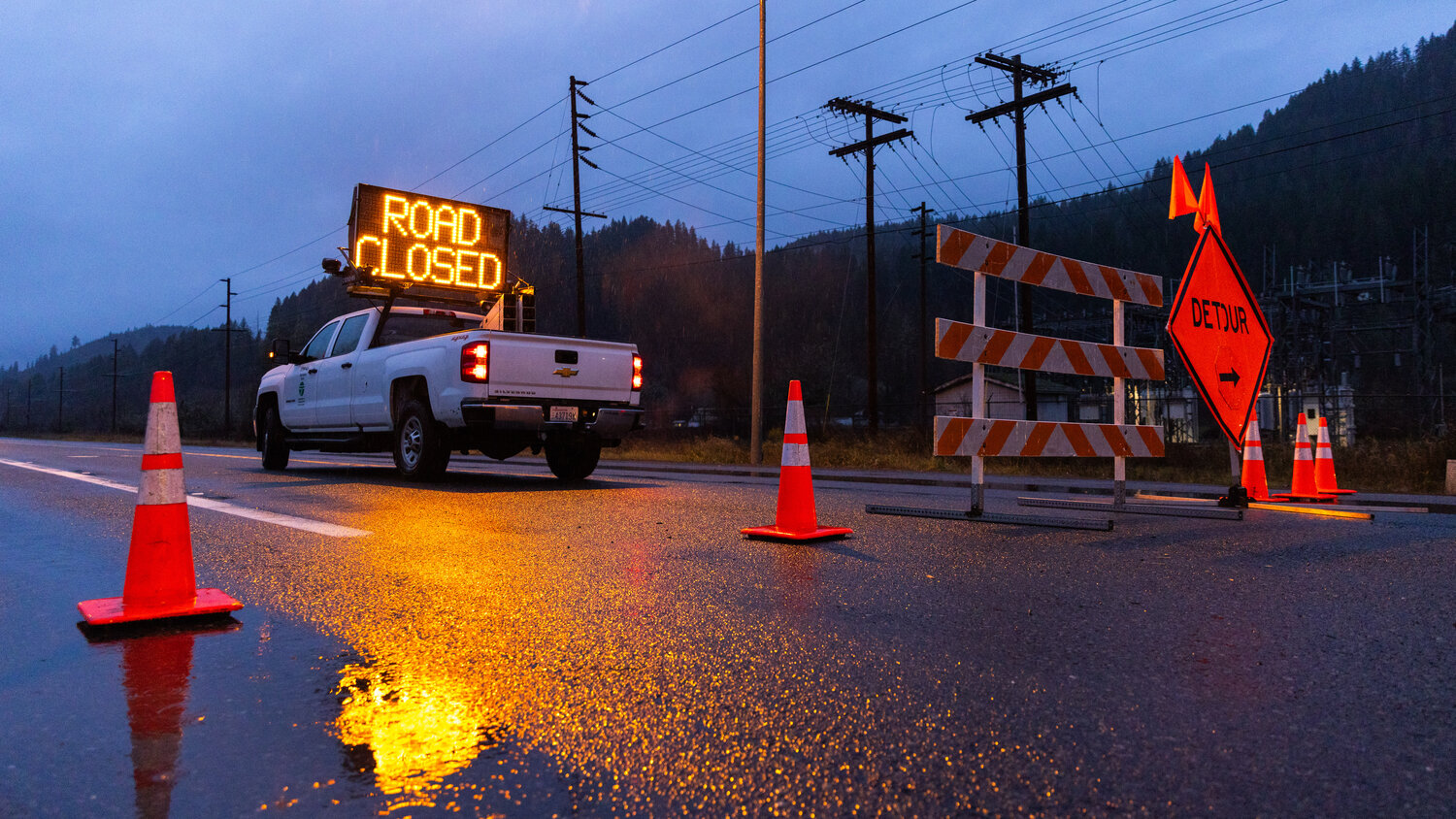
In Randle, U.S. Highway 12 was closed to west and eastbound traffic from Wednesday until Thursday morning. State Route 131, which runs south from the highway over the Cowlitz River, was closed due to flooding on Tuesday and hadn’t fully reopened by Friday morning.
McDowell said U.S. Highway 12 wasn’t fully covered in water, but that floodwaters inundated significant portions of both lanes on Wednesday. A detour remained open throughout the highway closure between mileposts 115 and 116.
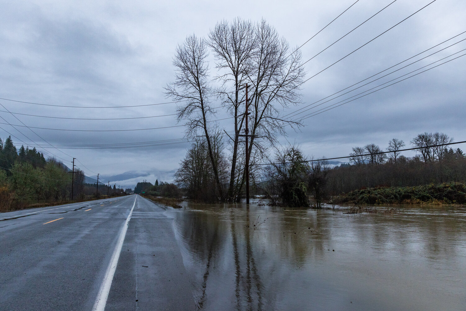
Neither emergency management nor the Randle Fire Department received reports of property damage from the flood, McDowell said, despite the Cowlitz reaching “well into moderate flooding.”
By Friday, he said water had “gone down quite a bit” but that inundated roads and fields would be muddy when the river receded.
The rainstorm was the likely culprit for an “impassable” landslide at milepost 18.5 on Forest Service Road 52 in Packwood, also called Skate Creek Road, on Tuesday, Dec. 5, according to the Gifford Pinchot National Forest. Once the hillside stabilizes and debris can be safely removed, the road will reopen, the Forest Service stated in a Facebook post.
“The ground can only take so much water,” McDowell said, and when the earth can’t hold more water, it takes the “least common denominator” downhill.
Roadside mountains along Skate Creek Road climb steeply into 2,500-foot elevation, according to resident Bill Serrahn, who works with the state as a keeper of Skate Creek Park, which is surplus park land along the road.
“Big slides come down those gullies from time to time,” Serrahn said, adding that heavy rain in the last week has created favorable conditions for those landslides.
With more rain forecast for the weekend, people should watch for landslide warning signs, including water coming out of hillsides and pouring from the ground, leaning trees, small slides, and any movement of earth, according to McDowell.
As of Friday morning, more rain was forecasted for Saturday and Sunday, he said.
“The rivers haven’t gone down. Today is a nice day out, it’s sunny, but people have to realize it’s only one day. The last I got from the National Weather Service is it wasn’t going to be as light as they originally thought,” McDowell said.
The weather service’s report called the upcoming front “more potent” than originally forecasted and stated that flooding potential in “sensitive rivers cannot be completely ruled out.”
Real-time Resources
High water alerts, inundation maps and forecasts: https://chehalis.onerain.com.
Lewis County river levels: https://rivers.lewiscountywa.gov/#/.
Lewis County emergency alerts: https://lewiscountywa.gov/departments/emergency-management/lewis-county-alert.
Weather service river gauge data: https://water.weather.gov/ahps2/index.php?wfo=SEW
County road conditions: https://roads.lewiscountywa.gov
State road conditions: https://wsdot.com/Travel/Real-time/Map/
Conditions of Forest Service roads and sites: https://www.fs.usda.gov/recmain/giffordpinchot/recreation#conditions


