


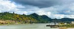


Editor’s Note: This is the final installment of "Headwaters to Harbor," a project by The Chronicle to document the Chehalis River from Pe Ell to Grays Harbor while highlighting people and issues connected to the river along the way. Our coverage is compiled at www.chronline.com/Chehalis-River.
Planning for the journey began in March.
I had just told Chronicle Editor-in-Chief Eric Schwartz that I wanted to add “cool outdoors reporting” to my beat. He looked puzzled.
“Like your trip down the Chehalis River,” I said. “Stuff like that.”
Amiable as he is, he just said, “OK.”
Days later, he was handing photographer Jared Wenzelburger and I the faded copies of his 2009 journey, which was then titled “Journey on the Chehalis.” Years later, two other Chronicle staffers took a journey down the Cowlitz River.
Within days of our first meeting, I was making calls to everyone I thought of. I had this vision — albeit an impossible one — of telling the story of life on the river as comprehensively as possible.
Washington Fish and Wildlife, the Department of Ecology’s water resources management staff, the Office of Chehalis Basin, the Chehalis Tribe, the Chehalis River Basin Flood Zone Control District, the Lewis County Conservation District, the Coast Salmon Partnership and Foundation and many others received messages from me, basically asking: “Will you help me?”
The people I was put in touch with, and the work so many did to help, was astonishing.
The first step: maps.
Watershed Science and Engineering founder Larry Karpack sent a 20-something page document with aerial photos along the Chehalis River, complete with floodplain and tributary information.
For a broader look at the entire basin, Anchor QEA, an environmental consulting firm, sent us a PDF map of communities, boat launches, river gages and much more that was vital to our trip planning. Google Earth was also a valuable resource.
Anthony Waldrop, of the Grays Harbor Conservation District, created and sent a Google Earth file with about 20 pins marking Conservation District projects, invasive knotweed hotspots, landowners the district had worked with and much more.
The second step of planning was the Pe Ell River Run. Schwartz had done his journey on the Chehalis from Rainbow Falls down, so he wanted us to expand the trip upstream.
One week before the run, Chronicle columnist Brian Mittge asked what I was doing the following weekend.
“I’m going to Eastern Washington with a friend,” I said.
He said, “No. You’re going on the Pe Ell River Run.”
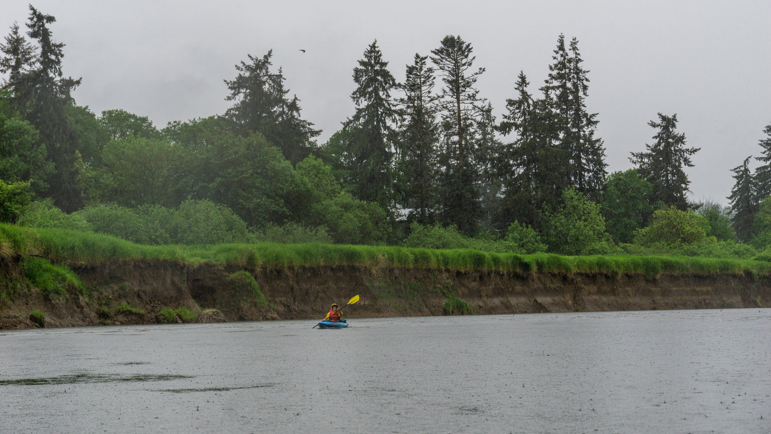
Wenzelburger and I did it, and the Upper Chehalis River that would eventually prove to be our trip’s greatest downfall for a day disguised as a perfect paddling paradise.
Step three: stories and photos.
We started interviews in early April on a handful of topics. The hardest, by far, was on water rights. I wanted to summarize why water rights were topical for residents. I ended up writing a 1700-word snooze of a research-type paper that was probably the least-read story from our entire Headwaters to Harbor package. I still had a blast doing it.
To access the actual headwaters of the Chehalis River, we attempted to get Weyerhaeuser’s permission to drive to the confluence of the West and East forks in the Willapa Hills. We never heard back.
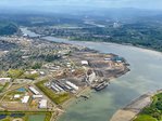
One day in late April, Wenzelburger and I drove to meet with a farmer near Elma. That evening, we were scheduled to attend a meeting in Packwood. On the way out, I was interviewing Office of Chehalis Basin Director Andrea McNamara Doyle.
“Boy, you really get around,” she said.
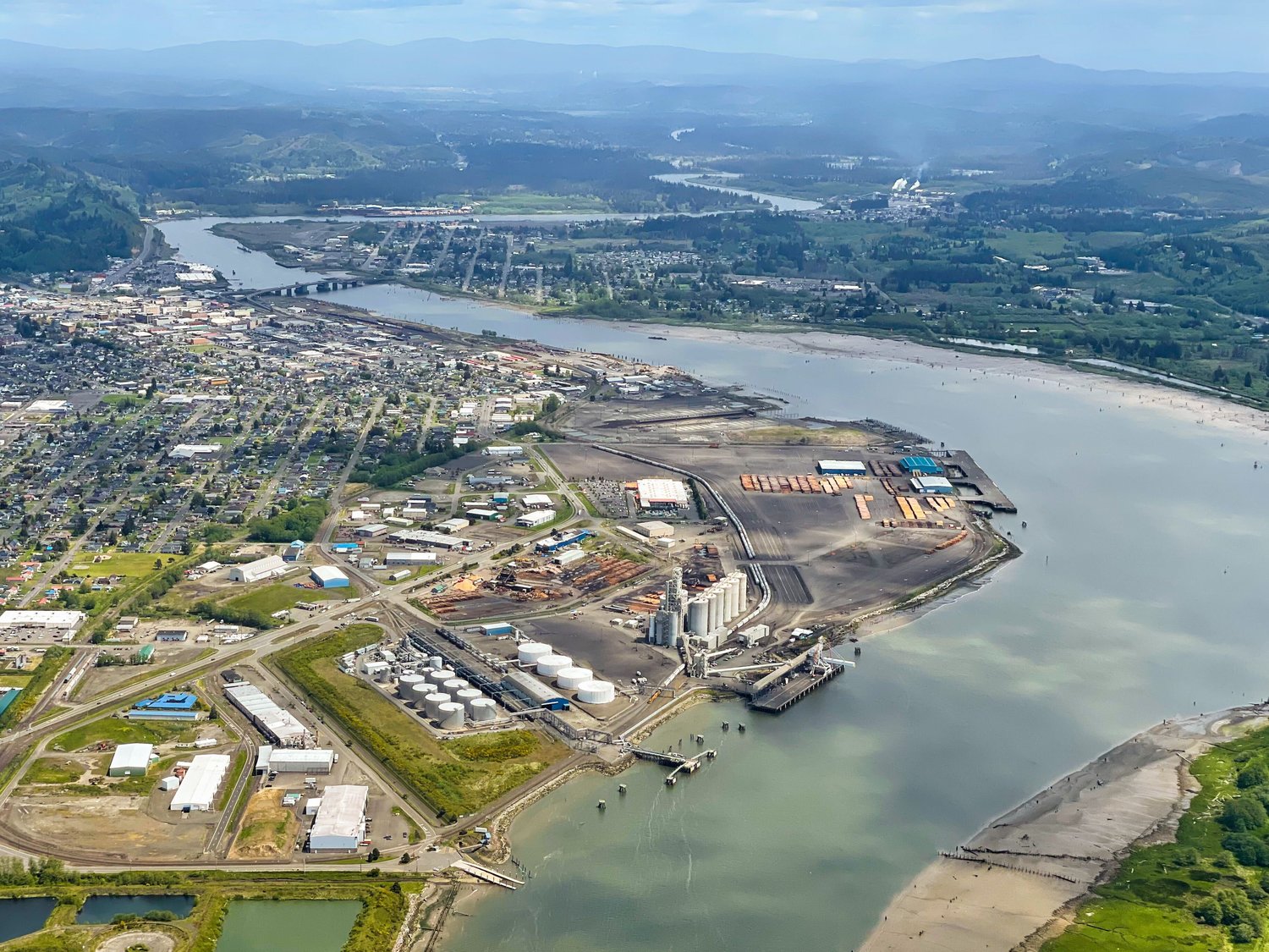
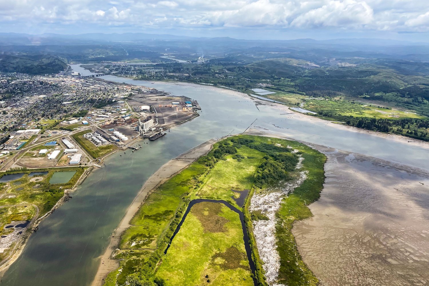
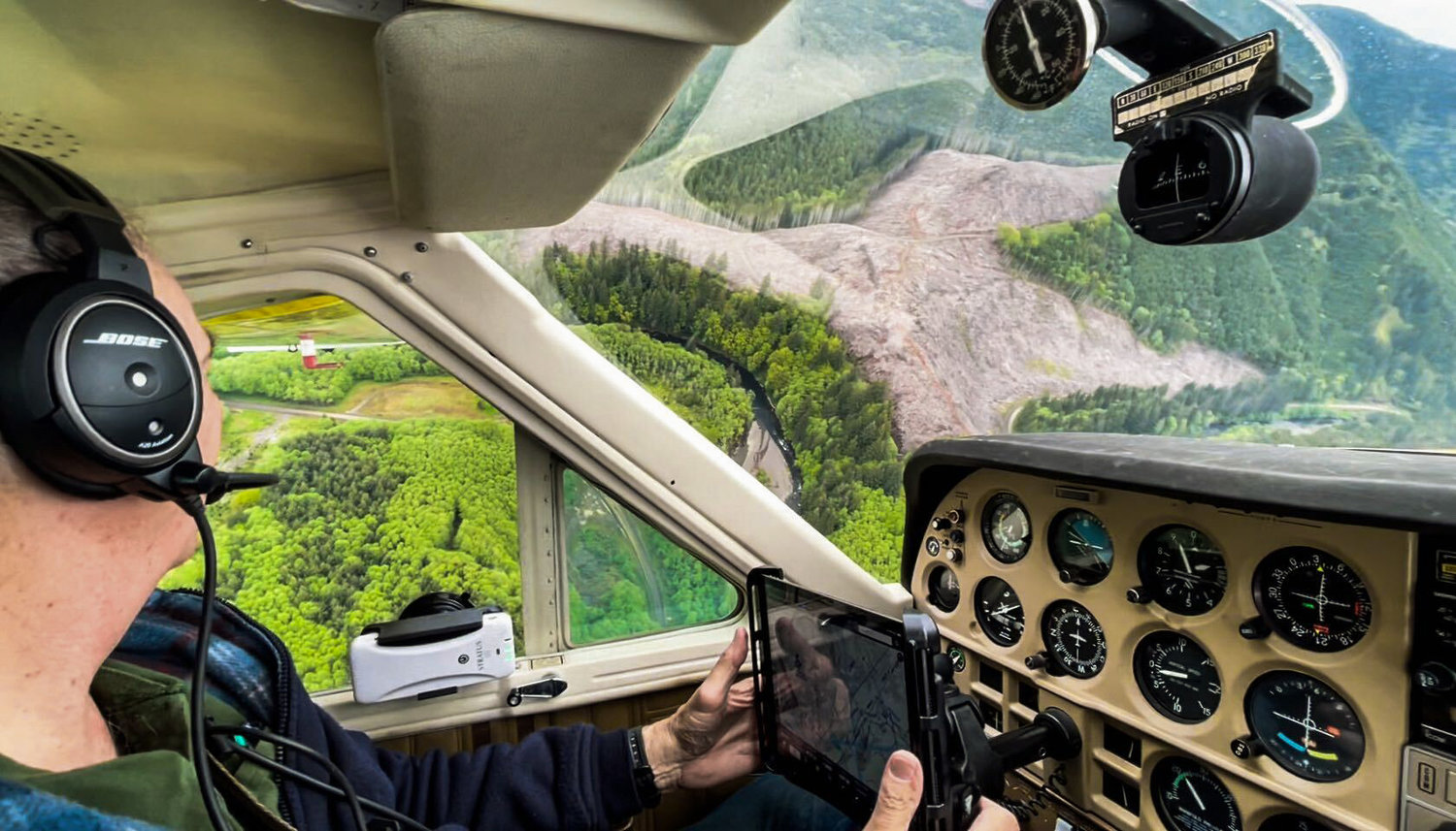
We also recruited the help of former Lewis County Sheriff’s Office Detective Dave Neiser, who flew us along the winding Chehalis for aerial photos.
Step four was gear. Wenzelburger did most of the heavy lifting for this, despite misfortune along the way. His car was broken into at one point, and a good chunk of what we’d bought for the trip was stolen.
Honestly, this should have been a sign for us. Nevertheless, we got more stuff. The original plan was to camp along the river, and I am a picky camper.
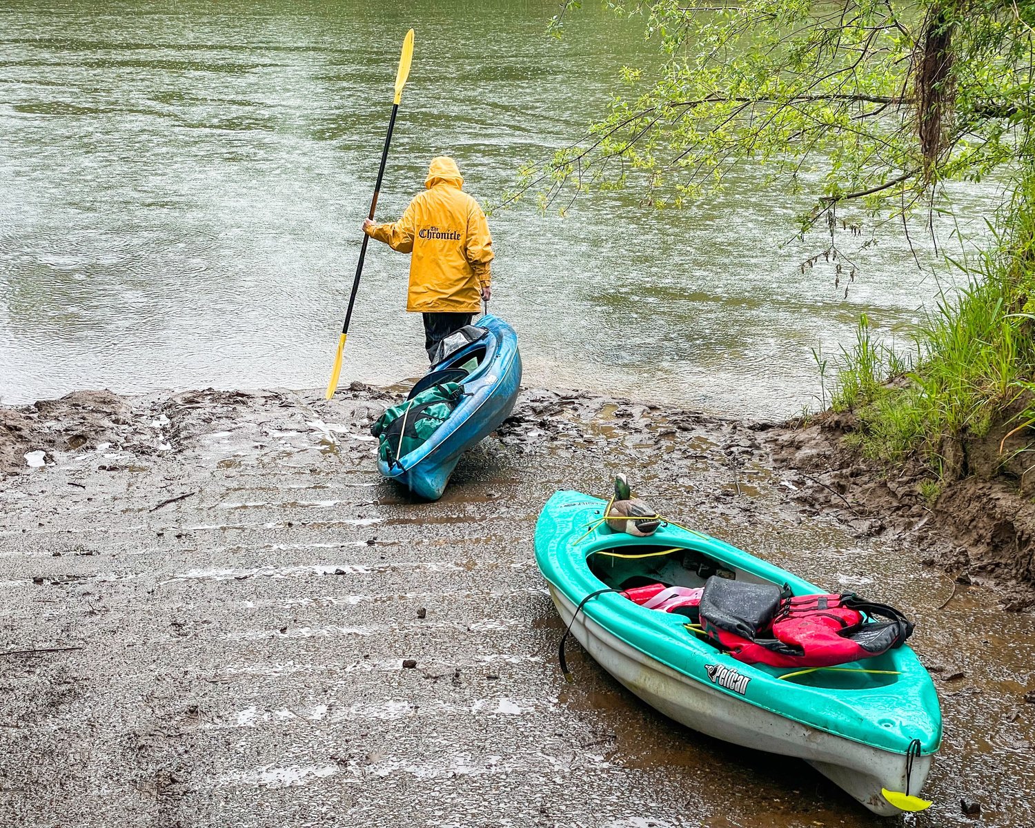
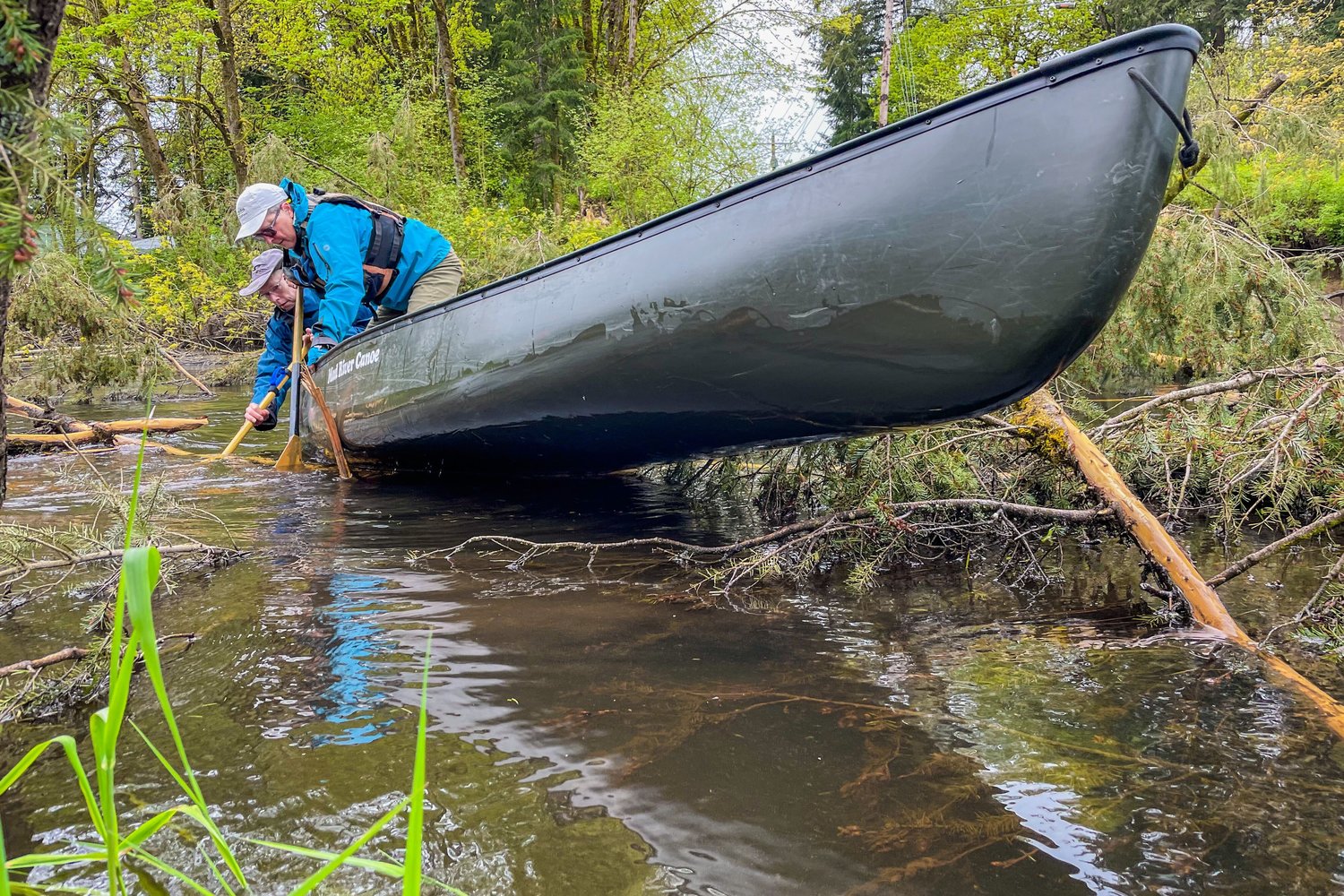
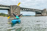
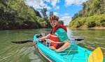
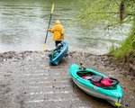
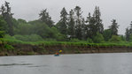
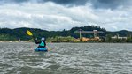
The day of the journey eventually arrived, and Wenzelburger and I anxiously loaded up into our gear-stuffed kayaks for the first stretch from Pe Ell to Rainbow Falls. If you want to hear about the disaster that day was, check out River Diary No. 1. I don’t really want to rehash the whole thing.
We decided to keep our appointments, despite canceling the camping plans for most of the journey. When we showed up to Rainbow Falls the following day in my 1999 Buick Regal to meet with staff from Lewis County Noxious Weeds, they were expecting a truck with kayaks strapped to the top.
“I can explain,” I said.
This was the first of several awkward explanations and the first two of many kind folks we would meet along the way who helped us understand the world around us a little better than before. They even laminated a book of the various noxious weeds we might see on or in the river along the way so we could keep it in our kayaks.
We had guests along the way as well, including Mittge, CT Publishing Regional Editor Justyna Tomtas and Longview Daily News Sports Editor Jordan Nailon. We also met several people for stories along the river banks, including Don Watt from the Chehalis Basin Land Trust, farmers in the Independence Valley and near the Satsop River, and fishermen in Cosmopolis and Montesano. We were also greeted on the shores by former Lewis County Commissioner Edna Fund and by Lewis County Conservation District Stream Team member Bob Russell.
Not camping was fortunate in some ways, including having a place to shower. In other ways, I think if we had been doing it, we could have shared our location more frequently for meetings. Instead, our start times each day were more dependent on when we got our work done.
But, sleeping at home was pretty nice.
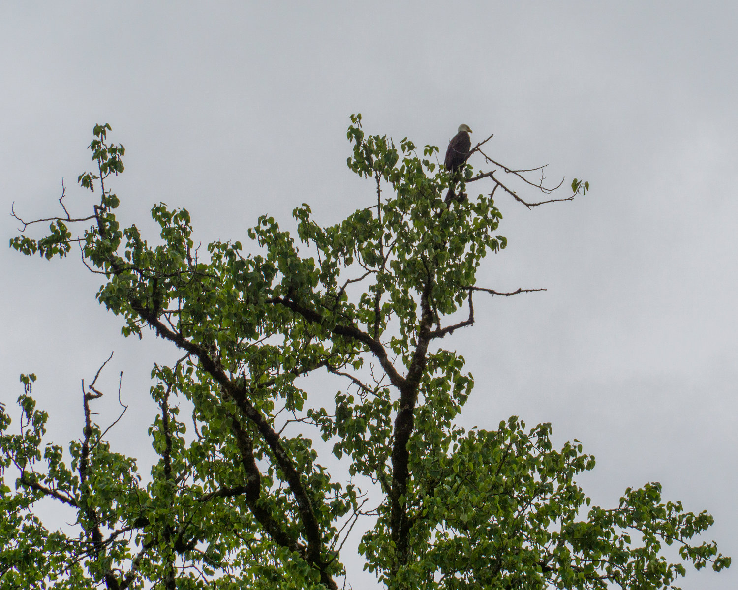
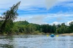
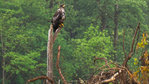
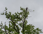
Along the way, Wenzelburger and I saw innumerable raptors, including over a dozen juvenile bald eagles, turkey vultures, osprey and red-tailed hawks. We saw various ducks and waterfowl, mostly mergansers and Canada geese. I even saw a black bear cub, which was the first bear I had ever seen outside of the zoo. I saw the biggest frog I’ve ever seen, which I later confirmed to be a bullfrog thanks to a source with Fish and Wildlife, who said “If it chirps when it jumps, it’s a bullfrog.”
Wenzelburger got a great picture of a harbor seal’s head poking out of the river. Fish jumped around us every day and swallows with homes in the muddy riverbanks swarmed over the water during rainstorms to catch them.
We learned to wear sunscreen and avoid wood and rocks — the hard way. After our first day, we never tipped our kayaks again. My skin is still peeling.
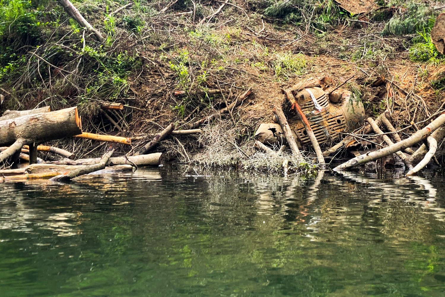
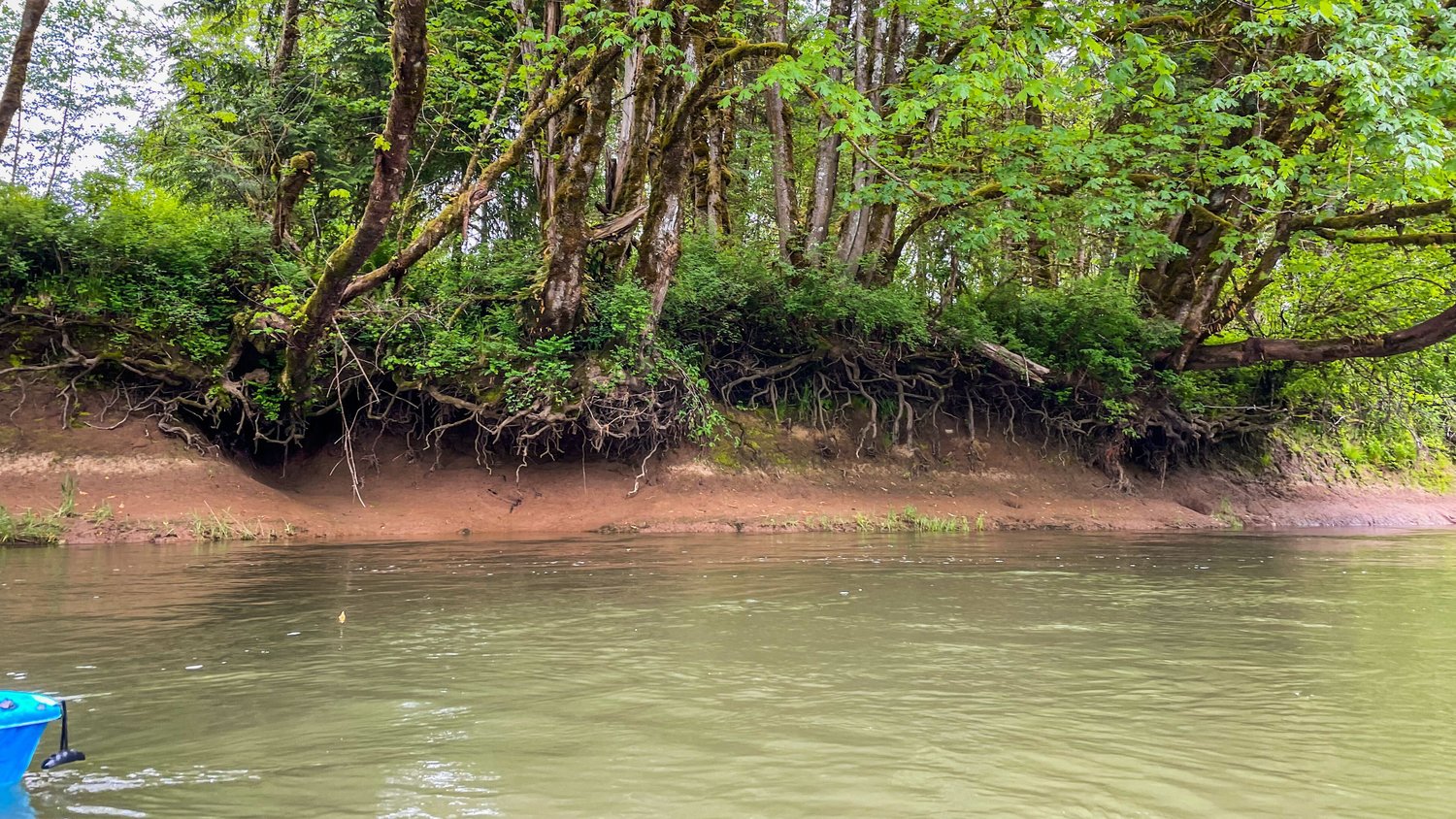
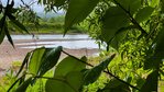
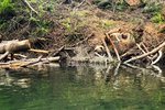
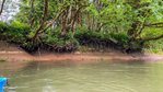
I saw my home — the Chehalis River Basin — from an entirely new perspective. For this reason, despite its constant meandering there, I’d recommend Twin Cities residents try to paddle the stretch between Lintott-Alexander and Fort Borst parks at some point. It’s fascinating. The river holds old bodies of cars from when they were used, decades ago, to stabilize the banks. Paddlers can observe the mouths of creeks and rivers that appear in their lives every day.
I am so thankful to have done this project and even more thankful to call this stuff my “work.”
Did I accomplish what I set out to do?
Not even close.
This river basin holds profound diversity in its ecology and communities. Understanding all its important stories cannot be accomplished by spending less than two weeks on the water. It probably wouldn’t be accomplished by a lifetime on the water, either.
Nonetheless, it was an honor to try. Maybe the next team to try will start one step closer.