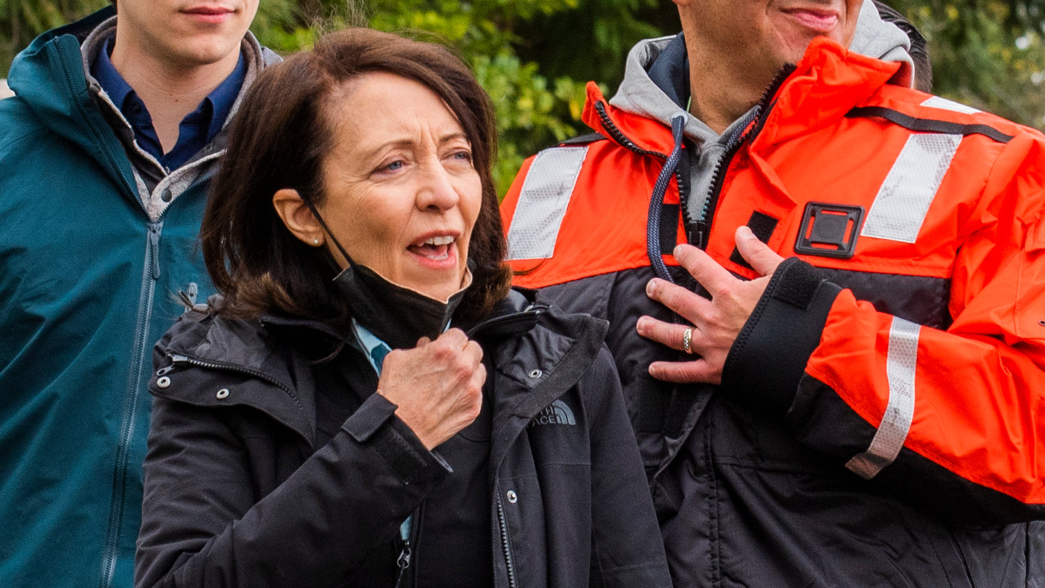


Nisqually Indian Tribe Chairman Willie Frank III and tribal leadership took Gov. Jay Inslee, U.S. Sen. Maria Cantwell and Congresswoman Marilyn Strickland on a tour of the Nisqually River Monday off of Frank’s Landing as they headed under the Nisqually bridges on Interstate 5 to study how the freeway affects the Nisqually River Delta.
It was a chilly spring day, though the rain held off as Inslee, Cantwell and Strickland gingerly boarded a five-person boat helmed by Frank and set off on their journey upriver.
It only took a few bobbles before the politicians settled themselves into their boat for the voyage.
They discussed options for the bridges’ replacement and the possible placement of about a mile and a half of the freeway onto piers, a project that is estimated to cost at least $5 billion.
“This is a very powerful river, and she deserves respect for a lot of reasons, for improving salmon habitat, for protecting I-5 in this critical corridor,” Inslee said during a press briefing after the tour with The Chronicle. “This is a critical spot for the state of Washington for multiple things close to our heart — salmon, transportation, JBLM. We really need to address it.”
I-5 acts as a dam across the Nisqually Delta and constricts the flow of floodwaters out of the mouth of the Nisqually River.
The freeway currently causes the Nisqually River to constrict its flow, but the river is still releasing its energy above I-5 in dynamic and potentially dangerous ways. The river is constantly looking to move downstream and release its energy, but it’s being forced by I-5 to do so elsewhere.
The river is eroding the sediment on its shores rapidly in the areas just above I-5 and has created an unsustainable bend in the river directly upstream from the bridges, which has caused water to flow upstream at times as the river looks to discharge its flow. The Nisqually is expected to continue to dig away at the sediment and try to find the quickest way to release its water to the Puget Sound. There’s a distinct possibility that this could be at that bend, punching through I-5 at a spot where there’s no structure to support it, potentially resulting in a complete I-5 outage.
That kind of outage is projected to occur about 500 yards north of the Nisqually River bridges.
“This is something that we have to do now, and typically (in) our responding to crises, we have to be ahead of this because if you look at the river and the erosion that’s taking place, we’re going to have a crisis soon,” Strickland said. “I serve on both the House Armed Services Committee and Transportation and Infrastructure (Committee), and there is a strong nexus here with national security, the economy, transportation — all those things. We have to act now, and not wait … until we have a crisis.”
I-5 also constricts the flow of Puget Sound waters into the mouth of the Nisqually River.
The tribe and the Legislature are concerned with upstream flooding possibilities and the potential of the I-5 dam across the Nisqually Delta blocking the efficient flow of floodwaters downstream.
An idea is to allow for the free flow of the Nisqually River across its historic floodplain in the delta by moving I-5 onto piers to allow potential floodwaters to move freely downstream and for the Puget Sound to move freely upstream.
The tribe noticed with the catastrophic flood of 1996, and then again with the flood of 2020 to a lesser extent, that private properties flooded for long periods of time in large part because the water did not efficiently move through the Nisqually Valley floor due to I-5’s blockage, according to previous Chronicle reporting.
Another issue to be addressed by the project is the impact I-5 has on the downstream habitat for fish, with its presence affecting the salinity of the critically restored estuary at the delta. As sea levels rise, the blockage across the Nisqually Delta that I-5 creates works to prevent Puget Sound waters from moving upstream, a phenomenon that salmonid species are dependent on.
The possibilities for the project could create a more resilient and functioning estuary that would support the recovery of steelhead, Chinook and chum salmon. It will do that by allowing the habitats to adjust to climate change to support salmon survival and recovery.
The Washington State Legislature passed partial funding for the project with its Move Ahead Washington transportation package in the 2022 legislative session.
“I’m very glad that the Legislature acted this year,” Inslee said. “We’ve got $75 million to start the environmental planning design work for this corridor. It is necessary that we do this now. This river is fast. It’s moving sand by the ton fast with gravel, and we have some long-term risks, so I’m glad we’re moving on this, and I appreciate what the tribe’s doing. (They) have been such great leaders on salmon, and they are now great leaders on transportation as well.”
Yet the Legislature’s fiscal commitment to the project will only go so far.
“We saw up close and personal what they’ve been seeing on a map, which is the transformation of this river that is threatening I-5,” Cantwell said. “So we need a state and federal partnership to come up with a plan so that we … are not addressing a catastrophe where I-5 is literally shut down for a period of time because of massive flooding.
“So we’re glad that we’ve been able to get together in this position today to hear from the scientific experts about how much time we have,” Cantwell continued. “It’s not really clear how much time we have. But (with) good graces, we might be able to get through several years here, but this is a problem that needs immediate federal and state support.”
After the press briefing, the leaders met with the tribe for a roundtable, where they further discussed options for the project and ways they could be implemented.