If you or someone you know has been unusually stressed about the fate of your tomato seedlings this month, it's not without cause.
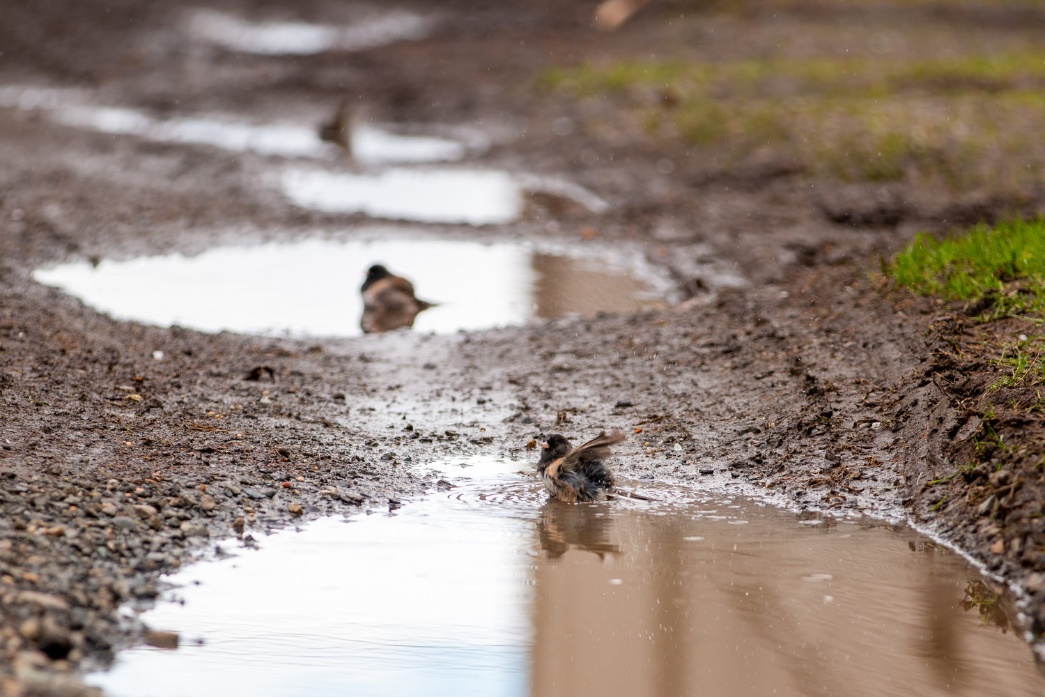
This May has been one of the coldest and wettest on record in the Seattle area. As of this morning, this May is now the wettest we've seen since Truman was president.
So far this month we've been deluged with 3.84 inches of rain, surpassing May 1977 for the second-wettest Seattle month on record. Seattle has also seen unusually low temperatures for May, with an average temperature of 52.4 degrees this month.
The cause, according to National Weather Service meteorologist Jeff Michalski, has to do with the La Niña weather pattern over the Pacific Ocean. La Niña's colder-than-usual water temperatures near the equator affect weather circulation across the globe — and it also means colder and wetter weather here in the Pacific Northwest.
This is usually something that would happen in winter, "but we're still seeing it lingering into the spring," Michalski said.
Now for the good news.
Memorial Day itself is shaping up to be relatively rain-free, aside from some lingering showers up around the North Cascades. It'll still be cold — a high around 60 degrees when more typically it would be 68 — and it'll get warmer into next week.
By Wednesday, highs could be in the mid-70s, or even near 80 degrees south of Seattle.
But Memorial Day should still be safe for grilling outdoors. Take it from a meteorologist.


