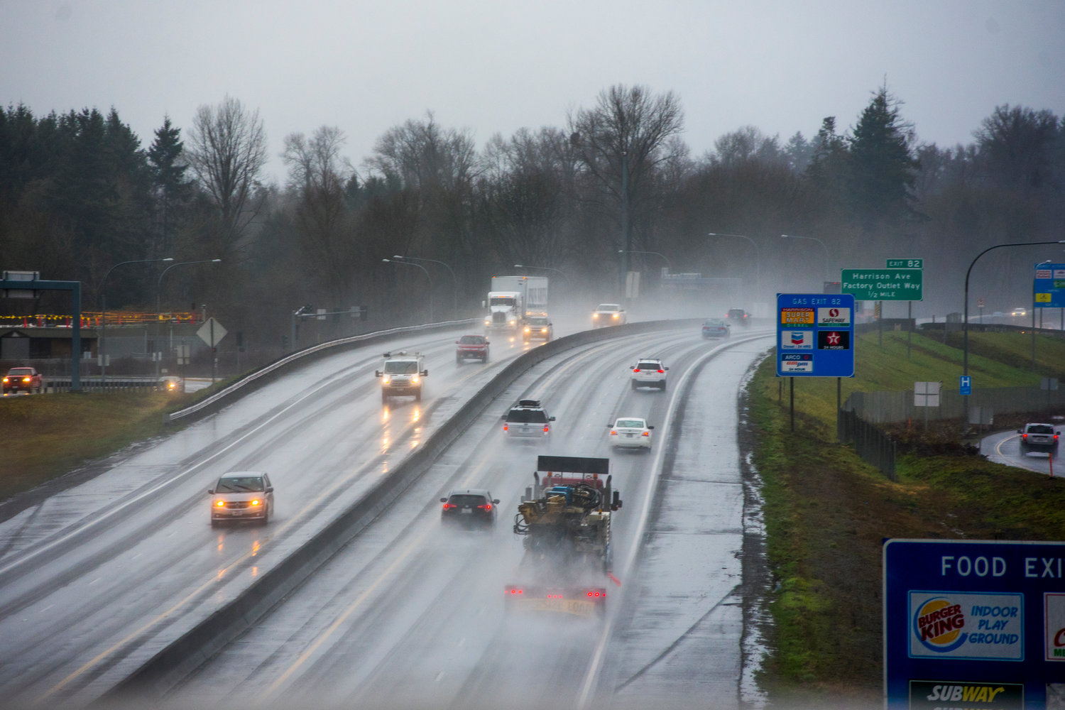
FILE PHOTO — Vehicles drive on Interstate 5 near milepost 82 in Centralia.
The Monday sunshine over the Seattle area won't last long.
Already, the first of three wet weather systems is bringing heavy rain, brisk winds and even a chance of thunder and lightning to the coast and the Olympic Mountains. And it's headed to the Puget Sound region next.
Sometime between midnight and 6 a.m. Tuesday, the slow-moving, moisture-swollen system will reach Seattle, dropping a half-inch to an inch of rain across the region throughout the day, according to the National Weather Service in Seattle.
The second system, due Wednesday, won't be quite as wet but could bring some pretty serious winds, with gusts of 35 miles per hour, along the Interstate 5 corridor from Tacoma through Bellingham, weather service meteorologist Matthew Cullen said.
The third system, which will bring significantly cooler temperatures, will hit sometime early Thursday, he said.
By then, our high temperature will drop from Monday's high 50s and low 60s down to the 40s, with freezing overnight temperatures, he said.
All three systems will drop several inches of precipitation in the mountains, Cullen said, but with the colder weather Thursday, the snow level will drop, and we could see snow in the passes.
The weekend will be drier, but not necessarily warmer, Cullen said.
___
(c)2020 The Seattle Times
Visit The Seattle Times at www.seattletimes.com
Distributed by Tribune Content Agency, LLC.


