After the coolest April and May in decades, Western Washington is in store for another month of cooler and wetter weather, according to the Climate Prediction Center's 30-day forecast for June.
So the adage that summer in Seattle doesn't start until July 5 looks like it's coming true.
That doesn't mean every day is going to be cold and rainy, but overall the month is expected to be cooler and wetter than usual, said assistant state climatologist Karin Bumbaco.
Kind of like the spring we've had so far.
The Emerald City saw its third-coldest April recorded over the last 45 years and the 13th coldest ever, according to the National Weather Service of Seattle.
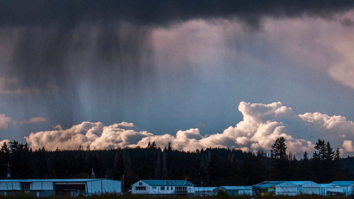
And May ended up being the second wettest and seventh coldest on record, with 3.82 inches of rain and an average temperature of 52.6 degrees, according to weather service meteorologist Carly Kovacik.
By the end of May, Seattle had seen only six hours with temperatures above 70 degrees, compared to last year when we'd had 80 hours by this time or 2019 when we'd seen 103, the weather service tweeted.
But it could be a different story as we move into summer, according to Bumbaco. The seasonal outlook for June, July and August shows equal chances of having a summer with warmer, cooler or the same temperatures as usual. The region has a high chance of less summer precipitation than usual. In Eastern Washington, the Climate Prediction Center is forecasting slightly higher chances of above-normal temperatures.
As for the next few days, Friday is predicted to be showery with a couple of thunderstorms and then "the whole rest of the weekend looks pretty wet with the wettest Saturday night into Sunday," Kovacik said.
But hang on, she didn't want to leave us with absolutely no hope.
"It looks like there could be a brief dry spell on Tuesday and Wednesday," she said.


