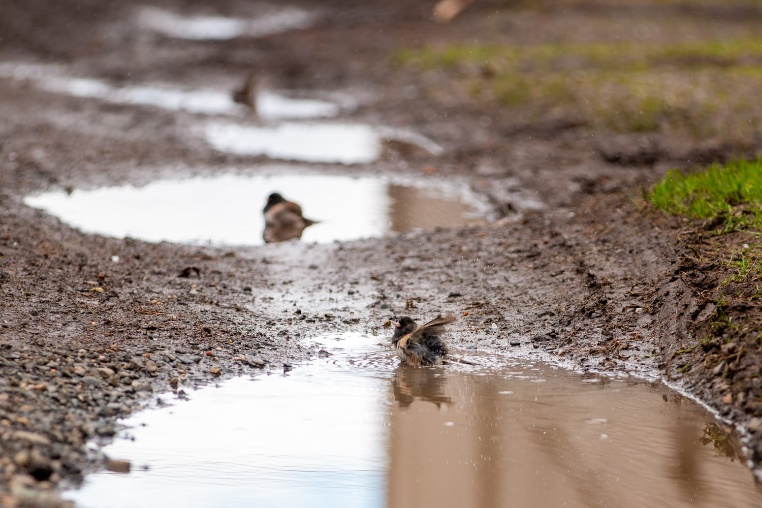
The northwest's historically wet May is seeping into June, it would seem. Cities across western Washington saw up to 2 inches of rain Saturday, with soaking showers hitting the Puget Sound region Sunday morning.
Sunday's precipitation is likely to be more of the shower variety than a constant drizzle, according to the National Weather Service. While it looks unlikely that we'll break today's rainfall record of 0.63 inches, set in 2012, it's possible with some of the showers looking quite heavy.
The drenching weather is thanks in part to yet another "atmospheric river" flowing in from the west. In fact, parts of western Washington could match the average rainfall for all of June in just two days.
The foothills of the Cascades could see some lightning Sunday afternoon. Thunderstorms cruised through the whole region on Friday morning.
If you're feeling like this has been a particularly dreary spring, you're not imagining it. April in Seattle was the third-coldest in 45 years and May was the second wettest. By the end of May, we'd only glimpsed six hours of temperatures above 70 degrees. In 2016, we had 144.
Forecasters are predicting that the old adage of summer's true start coming July 5 for the Pacific Northwest could be true this year, with a wetter and cooler June on tap. Things could dry out the rest of the summer, however, with a high chance of a less than average rainfall in July and August.


