


CENTRALIA — It’s just before 1 p.m. Tuesday, and the National Weather Service has issued Flood Warnings for parts of the Chehalis, Newaukum and Cowlitz rivers. The warning is set to stay in place through Thursday afternoon.
Water levels are expected to inundate roadways and fields near the Chehalis River above Doty, the Cowlitz River at Randle and the Newaukum River near Chehalis.
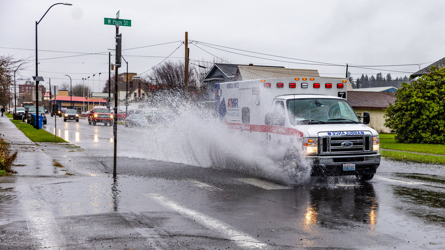
“Turn around, don't drown when encountering flooded roads. Most flood deaths occur in vehicles,” the Flood Warning states. “Motorists should not attempt to drive around barricades or drive cars through flooded areas. Caution is urged when walking near riverbanks.”
More information on the warning can be found at www.weather.gov.
In a news release, the Lewis County Division of Emergency Management said so far, impacts from the heavy rainstorm event “have been somewhat limited. However, we anticipate maintaining this elevated posture through at least noon tomorrow. All of our service partners have been put on alert.”
The City of Centralia has set up a sandbag station at the gravel parking lot on the corner of North Pearl and Maple streets as China Creek reaches the minor flood stage. Lewis County Emergency Management has sandbag stations set up at the following locations:
Check these links for more information, and scroll down to read more specifics about local rivers.
River conditions: http://rivers.lewiscountywa.gov/#/
Road conditions: https://roads.lewiscountywa.gov
Lewis County Alert: www.lewiscountywa.gov (click on the Lewis County Alert icon at the bottom right-hand side of the page)
River gauges: https://lewiscountywa.gov/emergency-management/2018-river-gage-information
China Creek
Centralia Public Works crews have been working since 5 a.m., according to Director Kim Ashmore. By 5:30 a.m., workers were on the streets in raincoats setting up signs, pumps and barricades in the wettest parts of the Hub City.
“Believe it or not, they’re also driving around and looking at storm drains,” Ashmore said. “Clearing leaves. … Keep things flowing.”
At the recently installed China Creek gauge on North Gold Street, the water level measures at 187.63 feet. The flood stage is 188.76 feet, where the creek overflows its flow control structure and no more water can be held back.
United State Geological Survey (USGS) river gauges — the agency uses the spelling “gages” — measure the elevation of the surface of the water, not the depth of water itself. Therefore, water levels are relevant only when compared to the height of different flood stages.
“We’re providing sandbags for people who are concerned about China Creek. … We’ve had a few phone calls today from people wanting to know if they need sandbags. ‘Is the creek gonna flood?’ ‘Is the river gonna flood?’” Ashmore said. “We’re just trying to be proactive.”
The city has not yet activated an Emergency Operations Center, Ashmore said.
Newaukum River
For the last two days, fields, roads and other surfaces have flooded thanks to rising waters on the Newaukum River near Chehalis, Lewis County Emergency Management reported in a news release.
As of noon on Tuesday, the river hadn’t reached the “action” or “minor” flood stages. In the Chehalis area, it is forecast to reach “moderate” flooding at about 10 p.m. tonight, cresting at 4 a.m. tomorrow. At the moderate flood stage, the Newaukum can inundate most roads and residential and commercial areas within the region, according to the weather service.
Swift flood waters will become deep and hazardous, especially near river channels.
Drivers and people going outdoors should exercise extreme caution and keep an eye on river levels through the links provided above.
Chehalis River
At and above Doty, including in Pe Ell, the Chehalis River is reaching “minor” flood stages. Though the river was forecast to crest in the minor stage, charts from the USGS gauges don’t show any recession as of noon Tuesday.
At the minor flood stage, floodwaters from the Chehalis and the South Fork Chehalis rivers “:inundate many roads and some residential and commercial areas,” the weather service reports.
Impacted roadways and surrounding areas include Curtis Hill, Lake Creek, Moon Hill, Wildwood Roads and other parts of the Boistfort Valley, and Labri Road and Front Street near Doty.
As of noon, the Chehalis River is forecast to reach “action stage,” which is below “minor,” near Centralia. Downstream, at Grand Mound, moderate flooding is forecast to begin late in the morning on Wednesday, Dec. 6. Keep an eye on the forecast for updates.
Cowlitz River
By 10 a.m., the Cowlitz River in Packwood reached “action” stage. It will have to rise another 2 feet in order to overflow its banks, which is not forecast at this time.
In Randle, though, the Cowlitz reached 15 feet at about 11 a.m., where it begins to “spill into low fields along the river from the vicinity of Randle downstream through Riffe Lake with shallow water over a few roads,” the weather service states.
The river in Randle is forecast to crest at “moderate” flooding around midday Wednesday. At that level, parts of U.S. Highway 12 and other nearby roads are likely to be inundated.
Skookumchuck River
As of noon Tuesday, the Skookumchuck River at Centralia is not forecast to hit flood stages. Near Bucoda, it’s forecast to reach just into the “action” stage on Wednesday around noon.
The Skookumchuck Reservoir, above TransAlta’s land dam, overflows at 477 feet. On Tuesday, the water level had reached 464.73. While the reservoir was not intended to provide flood control when first built, the reservoir does hold back high water from the Upper Skookumchuck River until the dam overflows.


